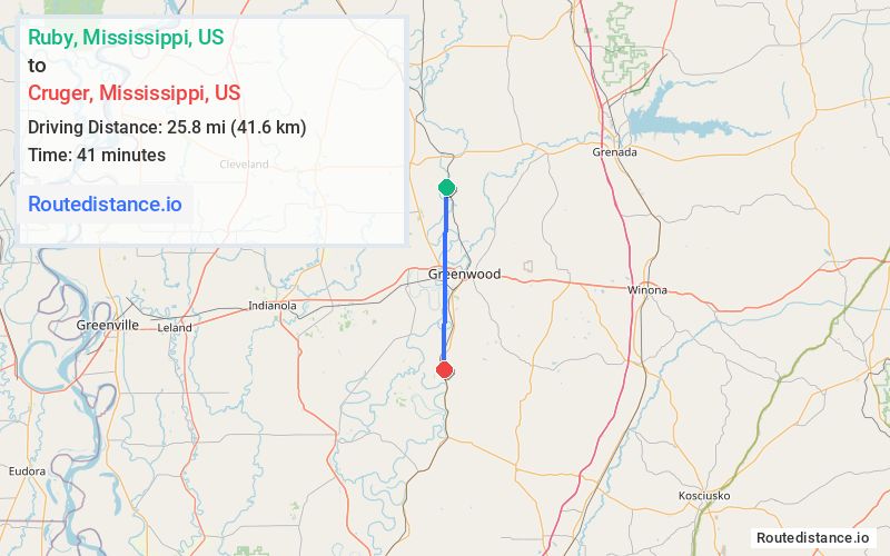
Distance from Ruby, Mississippi to Cruger, Mississippi
The driving distance from Ruby, Mississippi to Cruger, Mississippi is 32.7 mi (52.6 km)
The straight-line (air) distance is approximately 16.1 mi (25.8 km)
Estimated travel time by road is 43 minutes
We found 2 routes between Ruby and Cruger.
Available Routes
Route Directions
Take Co Rd 518 and Shellmound Rd to US-49E S
Follow US-49E S to Depot St in Cruger
Route Directions
Follow Co Rd 518 and US-49E S to Depot St in Cruger
Journey Details
Traveling from Ruby, Mississippi to Cruger, Mississippi covers 28.8 miles (46 km) in a south direction. This mixed highways and local roads, moderate route typically takes 35 minutes under normal conditions.
Drivers have 2 route options between these locations (29-33 miles / 46-53 km). The primary route shown here saves 9 minutes compared to alternatives.
The route features scenic views. During night weekday travel, expect minimal traffic congestion with average speeds around 49 mph (79 km/h) .
Journey Waypoints
Ruby
Starting Point
Cruger
Destination
Route Map Image