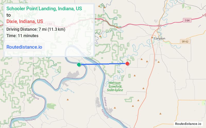
Distance from Schooler Point Landing, Indiana to Dixie, Indiana
The driving distance from Schooler Point Landing, Indiana to Dixie, Indiana is 29.9 mi (48.1 km)
The straight-line (air) distance is approximately 4.4 mi (7 km)
Estimated travel time by road is 40 minutes
We found 2 routes between Schooler Point Landing and Dixie.
Available Routes
Route Directions
Take Alton Fredonia Rd to IN-66 E in Jennings Township
Take I-64 E to S Heidelberg Rd SW in Harrison Township
Continue on S Heidelberg Rd SW. Drive to Fairview Church Rd SW
Route Directions
Take Alton Fredonia Rd to IN-62 E/IN-66 E/Ohio River Scenic Byway in Jennings Township
Take S Heidelberg Rd SW to Fairview Church Rd SW
Journey Details
Traveling from Schooler Point Landing, Indiana to Dixie, Indiana covers 28.4 miles (46 km) in a east direction. This mixed highways and local roads, moderate route typically takes 39 minutes under normal conditions.
Drivers have 2 route options between these locations (28-30 miles / 46-48 km). The primary route shown here saves 34 seconds compared to alternatives.
Journey Waypoints
Schooler Point Landing
Starting Point
Dixie
Destination
Route Map Image