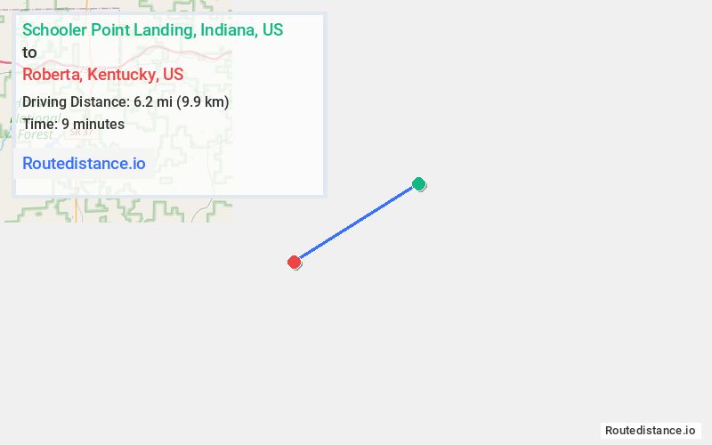
Distance from Schooler Point Landing, Indiana to Roberta, Kentucky
The driving distance from Schooler Point Landing, Indiana to Roberta, Kentucky is 56.1 mi (90.3 km)
The straight-line (air) distance is approximately 3.8 mi (6.2 km)
Estimated travel time by road is 1 hour 9 minutes
Route Directions
Take Alton Fredonia Rd to IN-62 E/IN-66 E/Ohio River Scenic Byway in Jennings Township
Follow IN-62 E/Ohio River Scenic Byway and IN-135 S to KY-1692 W/Fairground Rd in Brandenburg
Drive to Little Bend Rd in Battletown
Journey Details
Traveling from Schooler Point Landing, Indiana to Roberta, Kentucky covers 56.1 miles (90 km) in a southwest direction. This mixed highways and local roads, moderate route typically takes 1 hour 9 minutes under normal conditions.
The route features scenic views. During morning weekend travel, expect typical weekend traffic patterns with average speeds around 47 mph (76 km/h) .
Journey Waypoints
Schooler Point Landing
Starting Point
Roberta
Destination
Route Map Image