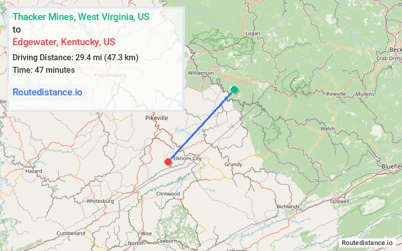
Distance from Thacker Mines, West Virginia to Edgewater, Kentucky
The driving distance from Thacker Mines, West Virginia to Edgewater, Kentucky is 52.5 mi (84.4 km)
The straight-line (air) distance is approximately 18.3 mi (29.4 km)
Estimated travel time by road is 1 hour 22 minutes
We found 3 routes between Thacker Mines and Edgewater.
Available Routes
Route Directions
Take KY-194 W, US-460 W and KY-197 to KY-195 in Pike County
Route Directions
Take WV-49 N, State Hwy 1056 and State Hwy 319 to US-119 S in Pike County
Continue on US-119 S to KY-195. Exit from KY-3174
Route Directions
Take KY-194 W to KY-3419 in Pike County
Continue on KY-194 W. Take State Hwy 1499, US-460 W and KY-197 to KY-195
Journey Details
Traveling from Thacker Mines, West Virginia to Edgewater, Kentucky covers 49.7 miles (80 km) in a southwest direction. This secondary roads, moderate route typically takes 1 hour 20 minutes under normal conditions.
Drivers have 3 route options between these locations (50-65 miles / 80-105 km). The primary route shown here saves 6 minutes compared to alternatives.
Journey Waypoints
Thacker Mines
Starting Point
Edgewater
Destination
Route Map Image