Distance to Freeburn, Kentucky

Calculating Your Route
Just a moment while we process your request...
Location Information
-
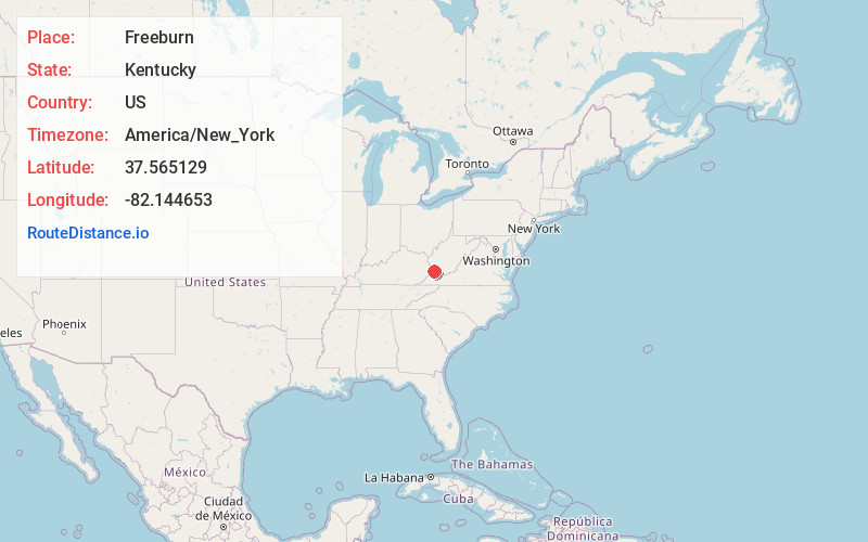
Full AddressFreeburn, KY 41528
-
Coordinates37.5651294, -82.1446525
-
LocationFreeburn , Kentucky , US
-
TimezoneAmerica/New_York
-
Current Local Time11:21:43 PM America/New_YorkWednesday, June 18, 2025
-
Page Views0
About Freeburn
Freeburn is a census-designated place, unincorporated community and coal town in Pike County, Kentucky, United States.
A post office called Liss was established in the community in 1911. In 1932, it was renamed Freeburn supposedly for a freeburning coal seam fire.


Nearby Places
Found 10 places within 50 miles

Phelps
3.5 mi
5.6 km
Phelps, KY 41553
Get directions

McCarr
3.8 mi
6.1 km
McCarr, KY 41544
Get directions

Matewan
4.1 mi
6.6 km
Matewan, WV
Get directions

Red Jacket
5.8 mi
9.3 km
Red Jacket, WV
Get directions

Belfry
7.8 mi
12.6 km
Belfry, KY 41514
Get directions

Delbarton
10.3 mi
16.6 km
Delbarton, WV
Get directions

Williamson
10.5 mi
16.9 km
Williamson, WV 25661
Get directions

Chattaroy
12.1 mi
19.5 km
Chattaroy, WV 25661
Get directions
Sarah Ann
13.3 mi
21.4 km
Sarah Ann, WV
Get directions

Gilbert Creek
13.7 mi
22.0 km
Gilbert Creek, WV 25621
Get directions
Location Links
Local Weather
Weather Information
Coming soon!
Location Map
Static map view of Freeburn, Kentucky
Browse Places by Distance
Places within specific distances from Freeburn
Short Distances
Long Distances
Click any distance to see all places within that range from Freeburn. Distances shown in miles (1 mile ≈ 1.61 kilometers).