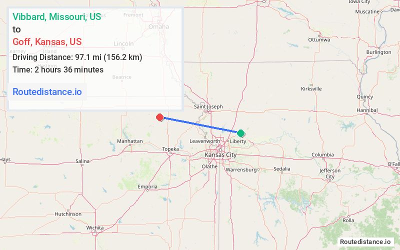
Distance from Vibbard, Missouri to Goff, Kansas
The driving distance from Vibbard, Missouri to Goff, Kansas is 137.5 mi (221.4 km)
The straight-line (air) distance is approximately 60.3 mi (97.1 km)
Estimated travel time by road is 2 hours 18 minutes
We found 2 routes between Vibbard and Goff.
Available Routes
Route Directions
Take State Hwy M and Hwy D to US-69 N in Washington Township
Take US-36 W to Goff Oneida Rd/Q Rd in Gilman Township
Follow Q Rd to Stahl Ave in Goff
Route Directions
Take W 160th St, State Hwy Y, W 158th St and Salem Rd to US-69 N in Excelsior Springs
Take State Rte 92 W, MO-273 N, US-59 S, US-73, ... and KS-9 W to Stahl Ave in Goff
Journey Details
Traveling from Vibbard, Missouri to Goff, Kansas covers 114.7 miles (185 km) in a west direction. This mixed highways and local roads, substantial route typically takes 2 hours 17 minutes under normal conditions.
Drivers have 2 route options between these locations (115-138 miles / 185-221 km). The primary route shown here saves 2 minutes compared to alternatives.
Journey Waypoints
Vibbard
Starting Point
Goff
Destination
Route Map Image