Distance to South Sugar Creek, Missouri

Calculating Your Route
Just a moment while we process your request...
Location Information
-
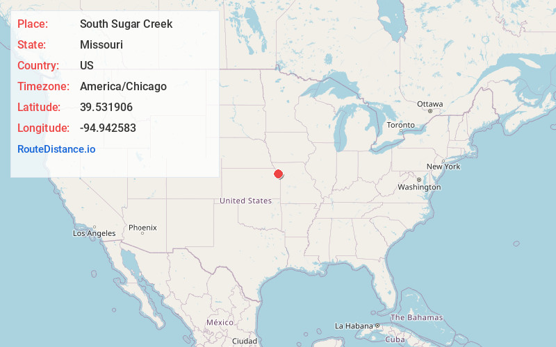
Full AddressSouth Sugar Creek, Missouri
-
Coordinates39.5319056, -94.9425834
-
LocationMissouri , US
-
TimezoneAmerica/Chicago
-
Current Local Time11:05:53 PM America/ChicagoWednesday, June 18, 2025
-
Page Views0
Nearby Places
Found 10 places within 50 miles

Dye
3.3 mi
5.3 km
Dye, Marshall Township, MO 64098
Get directions

De Kalb
3.9 mi
6.3 km
De Kalb, MO 64440
Get directions
Iatan
4.5 mi
7.2 km
Iatan, MO
Get directions
Wallace
5.3 mi
8.5 km
Wallace, Crawford Township, MO 64448
Get directions
Armour
5.6 mi
9.0 km
Armour, MO 64484
Get directions

Rushville
5.8 mi
9.3 km
Rushville, MO 64484
Get directions
Lewis and Clark Village
5.9 mi
9.5 km
Lewis and Clark Village, MO 64484
Get directions

Sugar Lake
6.1 mi
9.8 km
Sugar Lake, MO 64484
Get directions
West Platte County R-II School District
6.2 mi
10.0 km
West Platte County R-II School District, MO
Get directions
Sadler
6.4 mi
10.3 km
Sadler, Weston Township, MO 64098
Get directions
Location Links
Local Weather
Weather Information
Coming soon!
Location Map
Static map view of South Sugar Creek, Missouri
Browse Places by Distance
Places within specific distances from South Sugar Creek
Short Distances
Long Distances
Click any distance to see all places within that range from South Sugar Creek. Distances shown in miles (1 mile ≈ 1.61 kilometers).