Distance to De Kalb, Missouri

Calculating Your Route
Just a moment while we process your request...
Location Information
-
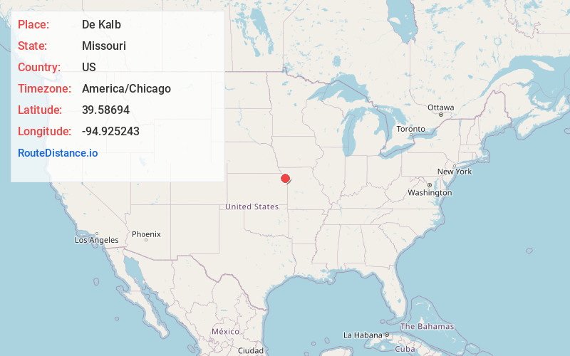
Full AddressDe Kalb, MO 64440
-
Coordinates39.5869398, -94.9252426
-
LocationDe Kalb , Missouri , US
-
TimezoneAmerica/Chicago
-
Current Local Time4:03:45 AM America/ChicagoSunday, June 1, 2025
-
Page Views0
About De Kalb
De Kalb is a city in southwest Buchanan County, Missouri, United States. The population was 233 at the 2020 census. It is part of the St. Joseph, MO–KS Metropolitan Statistical Area.


Nearby Places
Found 10 places within 50 miles

Atchison
10.6 mi
17.1 km
Atchison, KS
Get directions

Agency
10.6 mi
17.1 km
Agency, MO
Get directions
Wathena
12.0 mi
19.3 km
Wathena, KS 66090
Get directions

Elwood
12.0 mi
19.3 km
Elwood, KS
Get directions

Weston
12.2 mi
19.6 km
Weston, MO 64098
Get directions

St Joseph
13.2 mi
21.2 km
St Joseph, MO
Get directions

Troy
16.5 mi
26.6 km
Troy, KS 66087
Get directions

Platte City
16.8 mi
27.0 km
Platte City, MO 64079
Get directions
Gower
17.4 mi
28.0 km
Gower, MO 64454
Get directions

Leavenworth
19.1 mi
30.7 km
Leavenworth, KS
Get directions
Location Links
Local Weather
Weather Information
Coming soon!
Location Map
Static map view of De Kalb, Missouri
Browse Places by Distance
Places within specific distances from De Kalb
Short Distances
Long Distances
Click any distance to see all places within that range from De Kalb. Distances shown in miles (1 mile ≈ 1.61 kilometers).