Distance to Iatan, Missouri

Calculating Your Route
Just a moment while we process your request...
Location Information
-
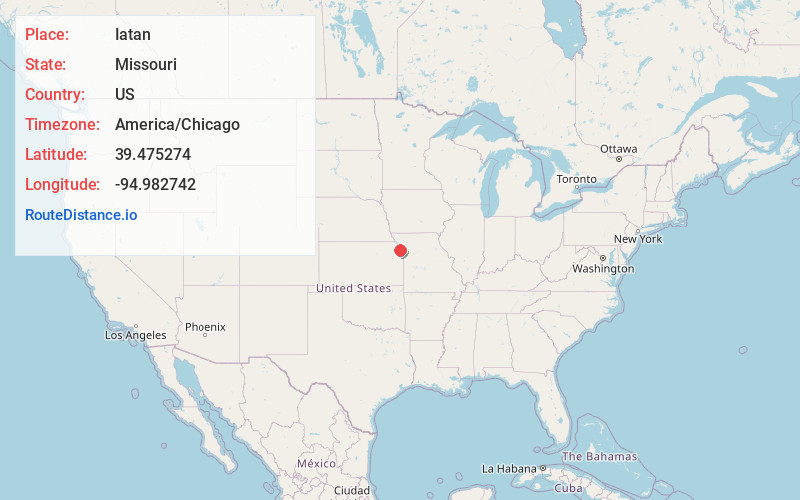
Full AddressIatan, MO
-
Coordinates39.4752741, -94.9827422
-
LocationIatan , Missouri , US
-
TimezoneAmerica/Chicago
-
Current Local Time9:10:55 PM America/ChicagoFriday, May 30, 2025
-
Page Views0
About Iatan
Iatan is a village in Platte County, Missouri within the United States. The population was 69 at the 2010 census. It is within the Kansas City metropolitan area.
Nearby Places
Found 10 places within 50 miles

Lewis and Clark Village
6.0 mi
9.7 km
Lewis and Clark Village, MO 64484
Get directions

Weston
6.2 mi
10.0 km
Weston, MO 64098
Get directions

Rushville
8.0 mi
12.9 km
Rushville, MO 64484
Get directions

De Kalb
8.3 mi
13.4 km
De Kalb, MO 64440
Get directions

Atchison
9.6 mi
15.4 km
Atchison, KS
Get directions

Easton
11.5 mi
18.5 km
Easton, KS 66020
Get directions

Leavenworth
11.8 mi
19.0 km
Leavenworth, KS
Get directions

Dearborn
11.8 mi
19.0 km
Dearborn, MO 64439
Get directions
Tracy
12.2 mi
19.6 km
Tracy, MO 64079
Get directions

Platte City
12.9 mi
20.8 km
Platte City, MO 64079
Get directions
Location Links
Local Weather
Weather Information
Coming soon!
Location Map
Static map view of Iatan, Missouri
Browse Places by Distance
Places within specific distances from Iatan
Short Distances
Long Distances
Click any distance to see all places within that range from Iatan. Distances shown in miles (1 mile ≈ 1.61 kilometers).