Distance to Dye, Missouri

Calculating Your Route
Just a moment while we process your request...
Location Information
-
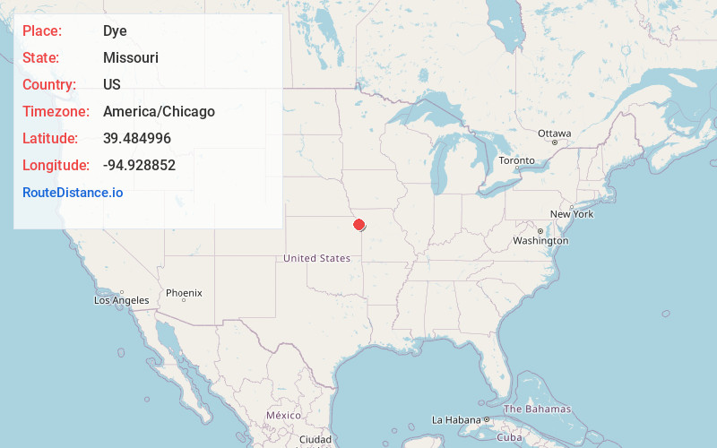
Full AddressDye, Marshall Township, MO 64098
-
Coordinates39.4849964, -94.9288523
-
LocationMarshall Township , Missouri , US
-
TimezoneAmerica/Chicago
-
Current Local Time6:12:43 AM America/ChicagoSaturday, June 21, 2025
-
Page Views0
About Dye
Dye is an unincorporated community in Platte County, in the U.S. state of Missouri. It is within the Kansas City metropolitan area.
Nearby Places
Found 10 places within 50 miles

Iatan
3.0 mi
4.8 km
Iatan, MO
Get directions

Weston
5.3 mi
8.5 km
Weston, MO 64098
Get directions
Port Williams
6.0 mi
9.7 km
Port Williams, KS 66002
Get directions

De Kalb
7.0 mi
11.3 km
De Kalb, MO 64440
Get directions
Lewis and Clark Village
7.7 mi
12.4 km
Lewis and Clark Village, MO 64484
Get directions
Dalbey
8.0 mi
12.9 km
Dalbey, Walnut Township, KS 66002
Get directions

Rushville
8.7 mi
14.0 km
Rushville, MO 64484
Get directions

Dearborn
8.8 mi
14.2 km
Dearborn, MO 64439
Get directions
Camden Point
10.2 mi
16.4 km
Camden Point, MO
Get directions
Tracy
10.4 mi
16.7 km
Tracy, MO 64079
Get directions
Location Links
Local Weather
Weather Information
Coming soon!
Location Map
Static map view of Dye, Missouri
Browse Places by Distance
Places within specific distances from Dye
Short Distances
Long Distances
Click any distance to see all places within that range from Dye. Distances shown in miles (1 mile ≈ 1.61 kilometers).