Distance to Dalbey, Kansas

Calculating Your Route
Just a moment while we process your request...
Location Information
-
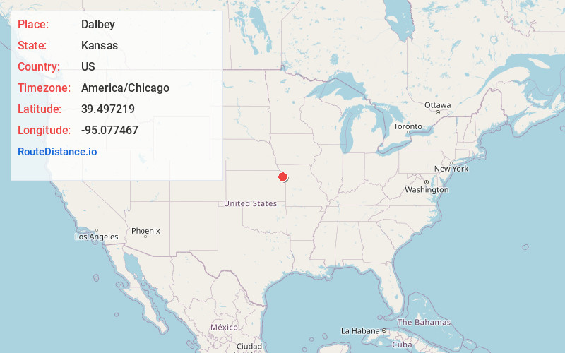
Full AddressDalbey, Walnut Township, KS 66002
-
Coordinates39.4972185, -95.0774665
-
LocationWalnut Township , Kansas , US
-
TimezoneAmerica/Chicago
-
Current Local Time2:55:33 PM America/ChicagoTuesday, June 10, 2025
-
Page Views0
Nearby Places
Found 10 places within 50 miles

Lewis and Clark Village
3.4 mi
5.5 km
Lewis and Clark Village, MO 64484
Get directions

Atchison
5.1 mi
8.2 km
Atchison, KS
Get directions
Iatan
5.3 mi
8.5 km
Iatan, MO
Get directions

Rushville
6.8 mi
10.9 km
Rushville, MO 64484
Get directions

De Kalb
10.2 mi
16.4 km
De Kalb, MO 64440
Get directions

Easton
10.7 mi
17.2 km
Easton, KS 66020
Get directions

Weston
11.1 mi
17.9 km
Weston, MO 64098
Get directions

Lancaster
13.1 mi
21.1 km
Lancaster, KS 66041
Get directions

Nortonville
14.8 mi
23.8 km
Nortonville, KS 66060
Get directions

Leavenworth
15.2 mi
24.5 km
Leavenworth, KS
Get directions
Location Links
Local Weather
Weather Information
Coming soon!
Location Map
Static map view of Dalbey, Kansas
Browse Places by Distance
Places within specific distances from Dalbey
Short Distances
Long Distances
Click any distance to see all places within that range from Dalbey. Distances shown in miles (1 mile ≈ 1.61 kilometers).