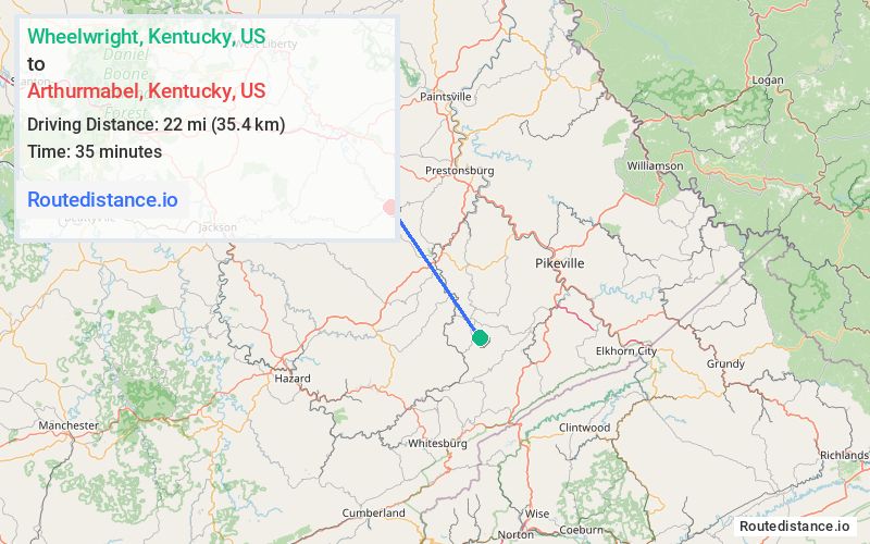
Distance from Wheelwright, Kentucky to Arthurmabel, Kentucky
The driving distance from Wheelwright, Kentucky to Arthurmabel, Kentucky is 34.9 mi (56.1 km)
The straight-line (air) distance is approximately 13.7 mi (22 km)
Estimated travel time by road is 53 minutes
We found 3 routes between Wheelwright and Arthurmabel.
Available Routes
Route Directions
Take KY-7 N, KY-850 N and State Hwy 404 to KY-7 N in Magoffin County
Route Directions
Follow KY-122 W and KY-680 to KY-7 N in Magoffin County
Route Directions
Journey Details
Traveling from Wheelwright, Kentucky to Arthurmabel, Kentucky covers 32.8 miles (53 km) in a northwest direction. This mixed highways and local roads, moderate route typically takes 49 minutes under normal conditions.
Drivers have 3 route options between these locations (33-38 miles / 53-61 km). The primary route shown here saves 8 minutes compared to alternatives.
The route features scenic views. During night weekday travel, expect minimal traffic congestion with average speeds around 42 mph (68 km/h) .
Journey Waypoints
Wheelwright
Starting Point
Arthurmabel
Destination
Route Map Image