Distance to Gunlock, Kentucky

Calculating Your Route
Just a moment while we process your request...
Location Information
-
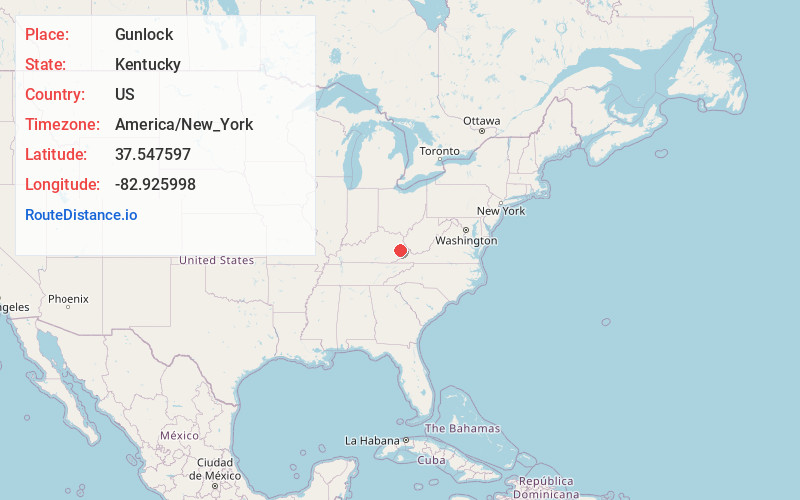
Full AddressGunlock, KY 41465
-
Coordinates37.547597, -82.9259979
-
LocationGunlock , Kentucky , US
-
TimezoneAmerica/New_York
-
Current Local Time9:16:30 PM America/New_YorkWednesday, June 18, 2025
-
Page Views0
About Gunlock
Gunlock is an unincorporated community in Magoffin County, Kentucky, United States. It lies along Route 7 southeast of the city of Salyersville, the county seat of Magoffin County. Its elevation is 1,001 feet.
A post office was established in the community in 1936.
Nearby Places
Found 10 places within 50 miles

Hippo
3.3 mi
5.3 km
Hippo, KY 41653
Get directions
Pyramid
3.4 mi
5.5 km
Pyramid, KY 41616
Get directions
Waldo
3.4 mi
5.5 km
Waldo, KY 41465
Get directions
David
4.1 mi
6.6 km
David, KY 41616
Get directions
Goodloe
5.2 mi
8.4 km
Goodloe, KY 41616
Get directions
Handshoe
5.5 mi
8.9 km
Handshoe, KY 41640
Get directions
Midas
5.6 mi
9.0 km
Midas, KY 41640
Get directions
Gapville
6.0 mi
9.7 km
Gapville, KY 41465
Get directions

West Garrett
6.6 mi
10.6 km
West Garrett, KY 41630
Get directions
Galdia
6.8 mi
10.9 km
Galdia, KY 41465
Get directions
Location Links
Local Weather
Weather Information
Coming soon!
Location Map
Static map view of Gunlock, Kentucky
Browse Places by Distance
Places within specific distances from Gunlock
Short Distances
Long Distances
Click any distance to see all places within that range from Gunlock. Distances shown in miles (1 mile ≈ 1.61 kilometers).