Distance to David, Kentucky

Calculating Your Route
Just a moment while we process your request...
Location Information
-
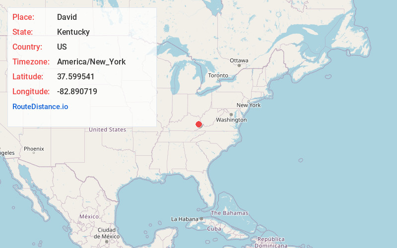
Full AddressDavid, KY 41616
-
Coordinates37.599541, -82.8907191
-
LocationDavid , Kentucky , US
-
TimezoneAmerica/New_York
-
Current Local Time2:47:01 PM America/New_YorkTuesday, July 1, 2025
-
Page Views0
About David
David is an unincorporated community and coal town in Floyd County, Kentucky, United States along County Route 404. Located in the Appalachian Mountains, it lies approximately 100 miles southeast of Lexington.
Nearby Places
Found 10 places within 50 miles

Goodloe
1.6 mi
2.6 km
Goodloe, KY 41616
Get directions

Floyd County
7.2 mi
11.6 km
Floyd County, KY
Get directions
Swampton
7.8 mi
12.6 km
Swampton, KY 41465
Get directions

Martin
7.8 mi
12.6 km
Martin, KY
Get directions
Prestonsburg
8.0 mi
12.9 km
Prestonsburg, KY
Get directions

West Garrett
8.5 mi
13.7 km
West Garrett, KY 41630
Get directions
Arkansas
8.7 mi
14.0 km
Arkansas, KY 41601
Get directions
Allen City
8.9 mi
14.3 km
Allen City, KY 41601
Get directions
Royalton
9.0 mi
14.5 km
Royalton, KY 41465
Get directions
Carver
9.2 mi
14.8 km
Carver, KY 41465
Get directions
Location Links
Local Weather
Weather Information
Coming soon!
Location Map
Static map view of David, Kentucky
Browse Places by Distance
Places within specific distances from David
Short Distances
Long Distances
Click any distance to see all places within that range from David. Distances shown in miles (1 mile ≈ 1.61 kilometers).