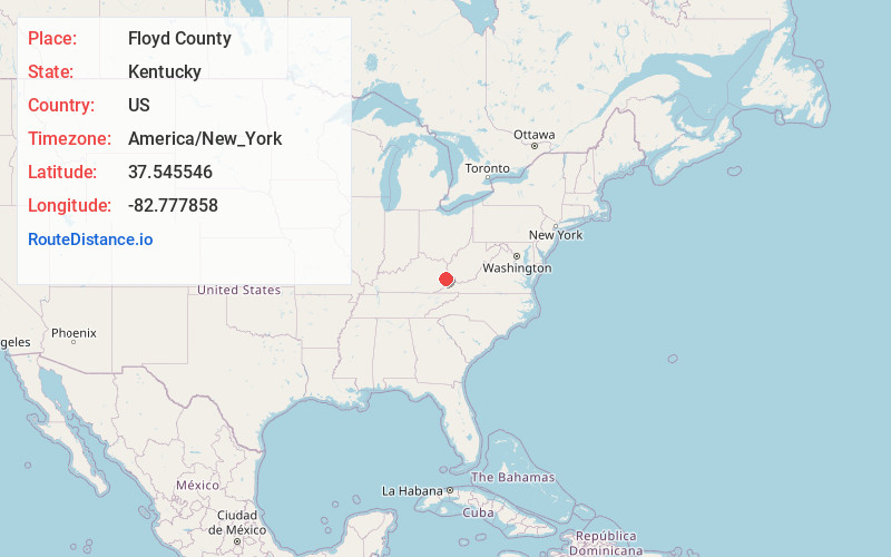
Distance to Floyd County, Kentucky

Calculating Your Route
Just a moment while we process your request...
Location Information
-
Full AddressFloyd County, KY
-
Coordinates37.5455463, -82.7778579
-
LocationKentucky , US
-
TimezoneAmerica/New_York
-
Current Local Time3:46:01 AM America/New_YorkMonday, June 2, 2025
-
Page Views0
About Floyd County
Floyd County is a county located in the U.S. state of Kentucky. As of the 2020 census, the population was 35,942. Its county seat is Prestonsburg. The county, founded in 1800, is named for Colonel John Floyd.


Nearby Places
Found 10 places within 50 miles

Martin
2.3 mi
3.7 km
Martin, KY
Get directions

Arkansas
3.6 mi
5.8 km
Arkansas, KY 41601
Get directions
Drift
4.8 mi
7.7 km
Drift, KY 41619
Get directions
Allen City
5.2 mi
8.4 km
Allen City, KY 41601
Get directions

West Garrett
5.2 mi
8.4 km
West Garrett, KY 41630
Get directions
Banner
5.6 mi
9.0 km
Banner, KY 41603
Get directions
Lackey
6.0 mi
9.7 km
Lackey, KY 41630
Get directions
Dwale
6.1 mi
9.8 km
Dwale, KY 41621
Get directions
Goodloe
6.1 mi
9.8 km
Goodloe, KY 41616
Get directions

McDowell
6.6 mi
10.6 km
McDowell, KY
Get directions
Location Links
Local Weather
Weather Information
Coming soon!
Location Map
Static map view of Floyd County, Kentucky
Browse Places by Distance
Places within specific distances from Floyd County
Short Distances
Long Distances
Click any distance to see all places within that range from Floyd County. Distances shown in miles (1 mile ≈ 1.61 kilometers).