Distance to McDowell, Kentucky

Calculating Your Route
Just a moment while we process your request...
Location Information
-
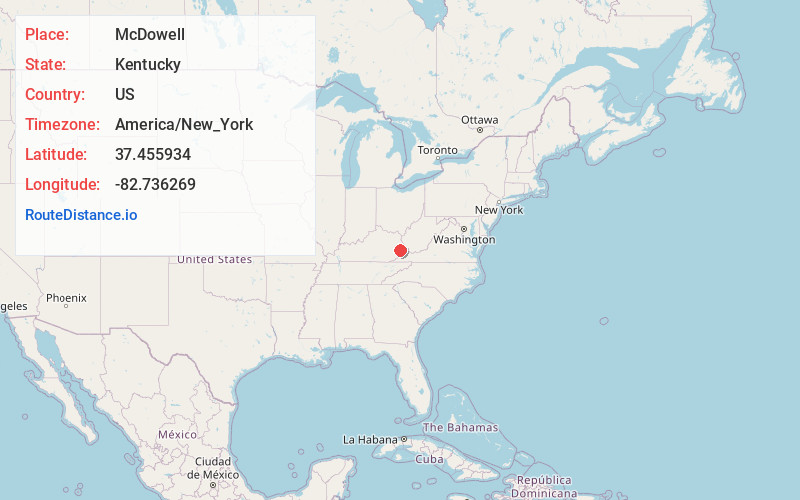
Full AddressMcDowell, KY
-
Coordinates37.4559336, -82.7362693
-
LocationMcDowell , Kentucky , US
-
TimezoneAmerica/New_York
-
Current Local Time8:22:14 AM America/New_YorkWednesday, May 21, 2025
-
Page Views0
About McDowell
McDowell is an unincorporated community and census-designated place in Floyd County, Kentucky, United States.


Nearby Places
Found 10 places within 50 miles

Wheelwright
8.6 mi
13.8 km
Wheelwright, KY
Get directions

Arkansas
8.8 mi
14.2 km
Arkansas, KY 41601
Get directions

Betsy Layne
8.8 mi
14.2 km
Betsy Layne, KY
Get directions
Coal Run Village
10.5 mi
16.9 km
Coal Run Village, KY 41501
Get directions
Pippa Passes
11.3 mi
18.2 km
Pippa Passes, KY 41844
Get directions

Virgie
12.0 mi
19.3 km
Virgie, KY 41572
Get directions

Pikeville
12.0 mi
19.3 km
Pikeville, KY 41501
Get directions

Prestonsburg
14.6 mi
23.5 km
Prestonsburg, KY
Get directions

Hindman
15.8 mi
25.4 km
Hindman, KY 41822
Get directions
McRoberts
17.5 mi
28.2 km
McRoberts, KY
Get directions
Location Links
Local Weather
Weather Information
Coming soon!
Location Map
Static map view of McDowell, Kentucky
Browse Places by Distance
Places within specific distances from McDowell
Short Distances
Long Distances
Click any distance to see all places within that range from McDowell. Distances shown in miles (1 mile ≈ 1.61 kilometers).