Distance to Betsy Layne, Kentucky

Calculating Your Route
Just a moment while we process your request...
Location Information
-
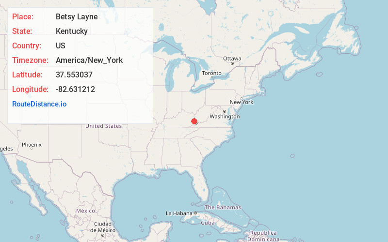
Full AddressBetsy Layne, KY
-
Coordinates37.5530371, -82.6312119
-
LocationBetsy Layne , Kentucky , US
-
TimezoneAmerica/New_York
-
Current Local Time9:28:51 PM America/New_YorkFriday, May 30, 2025
-
Page Views0
About Betsy Layne
Betsy Layne is a census-designated place and coal town in Floyd County, Kentucky, United States. It was established in 1875 along the Levisa Fork. The post office opened on May 1, 1908, with Clayton S. Hitchins as postmaster. Its ZIP code is 41605. The 2010 census reported the population to be 688.

Nearby Places
Found 10 places within 50 miles

Coal Run Village
4.8 mi
7.7 km
Coal Run Village, KY 41501
Get directions
Arkansas
5.9 mi
9.5 km
Arkansas, KY 41601
Get directions

Pikeville
8.0 mi
12.9 km
Pikeville, KY 41501
Get directions

Prestonsburg
10.9 mi
17.5 km
Prestonsburg, KY
Get directions
Auxier
14.3 mi
23.0 km
Auxier, KY
Get directions

Wheelwright
16.0 mi
25.7 km
Wheelwright, KY
Get directions

Paintsville
20.5 mi
33.0 km
Paintsville, KY
Get directions

Williamson
21.1 mi
34.0 km
Williamson, WV 25661
Get directions

Inez
22.2 mi
35.7 km
Inez, KY 41224
Get directions

Elkhorn City
23.1 mi
37.2 km
Elkhorn City, KY
Get directions
Location Links
Local Weather
Weather Information
Coming soon!
Location Map
Static map view of Betsy Layne, Kentucky
Browse Places by Distance
Places within specific distances from Betsy Layne
Short Distances
Long Distances
Click any distance to see all places within that range from Betsy Layne. Distances shown in miles (1 mile ≈ 1.61 kilometers).