Distance to Auxier, Kentucky

Calculating Your Route
Just a moment while we process your request...
Location Information
-
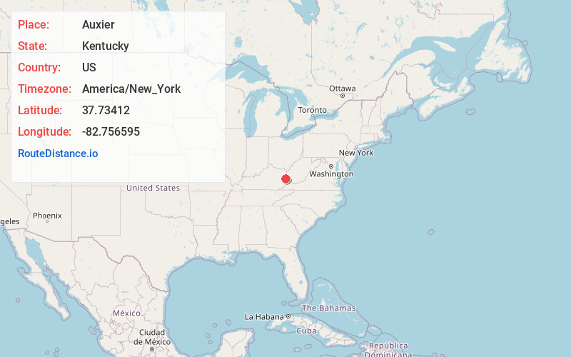
Full AddressAuxier, KY
-
Coordinates37.7341201, -82.7565946
-
LocationAuxier , Kentucky , US
-
TimezoneAmerica/New_York
-
Current Local Time5:16:27 PM America/New_YorkThursday, June 12, 2025
-
Page Views0
About Auxier
Auxier is an unincorporated community and census-designated place in Floyd County, Kentucky, United States. The 2010 United States Census reported that Auxier's population was 669, of which 661 persons were white and 2 persons were black.
Nearby Places
Found 10 places within 50 miles

Prestonsburg
4.8 mi
7.7 km
Prestonsburg, KY
Get directions

Paintsville
6.2 mi
10.0 km
Paintsville, KY
Get directions

Salyersville
17.1 mi
27.5 km
Salyersville, KY 41465
Get directions

Coal Run Village
18.7 mi
30.1 km
Coal Run Village, KY 41501
Get directions

Pikeville
21.9 mi
35.2 km
Pikeville, KY 41501
Get directions

Williamson
26.5 mi
42.6 km
Williamson, WV 25661
Get directions

Louisa
27.6 mi
44.4 km
Louisa, KY 41230
Get directions

West Liberty
30.4 mi
48.9 km
West Liberty, KY 41472
Get directions

Jackson
36.5 mi
58.7 km
Jackson, KY 41339
Get directions

Elkhorn City
37.1 mi
59.7 km
Elkhorn City, KY
Get directions
Location Links
Local Weather
Weather Information
Coming soon!
Location Map
Static map view of Auxier, Kentucky
Browse Places by Distance
Places within specific distances from Auxier
Short Distances
Long Distances
Click any distance to see all places within that range from Auxier. Distances shown in miles (1 mile ≈ 1.61 kilometers).