Distance to Arkansas, Kentucky

Calculating Your Route
Just a moment while we process your request...
Location Information
-
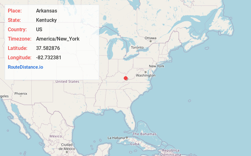
Full AddressArkansas, KY 41601
-
Coordinates37.5828763, -82.7323805
-
LocationArkansas , Kentucky , US
-
TimezoneAmerica/New_York
-
Current Local Time8:45:31 PM America/New_YorkSunday, June 1, 2025
-
Page Views0
Nearby Places
Found 10 places within 50 miles

Prestonsburg
6.1 mi
9.8 km
Prestonsburg, KY
Get directions

Auxier
10.5 mi
16.9 km
Auxier, KY
Get directions
Coal Run Village
10.7 mi
17.2 km
Coal Run Village, KY 41501
Get directions

Pikeville
13.7 mi
22.0 km
Pikeville, KY 41501
Get directions

Paintsville
16.5 mi
26.6 km
Paintsville, KY
Get directions

Wheelwright
17.3 mi
27.8 km
Wheelwright, KY
Get directions

Salyersville
21.8 mi
35.1 km
Salyersville, KY 41465
Get directions

Inez
22.3 mi
35.9 km
Inez, KY 41224
Get directions

Williamson
25.7 mi
41.4 km
Williamson, WV 25661
Get directions
Fleming-Neon
27.0 mi
43.5 km
Fleming-Neon, KY
Get directions
Location Links
Local Weather
Weather Information
Coming soon!
Location Map
Static map view of Arkansas, Kentucky
Browse Places by Distance
Places within specific distances from Arkansas
Short Distances
Long Distances
Click any distance to see all places within that range from Arkansas. Distances shown in miles (1 mile ≈ 1.61 kilometers).