Distance to Dwale, Kentucky

Calculating Your Route
Just a moment while we process your request...
Location Information
-
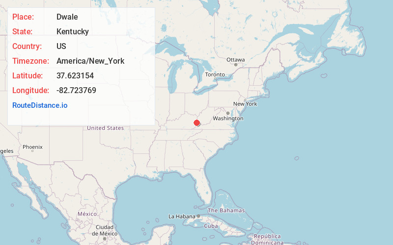
Full AddressDwale, KY 41621
-
Coordinates37.6231536, -82.7237691
-
LocationDwale , Kentucky , US
-
TimezoneAmerica/New_York
-
Current Local Time10:22:53 AM America/New_YorkWednesday, June 25, 2025
-
Page Views0
About Dwale
Dwale is an unincorporated community and census-designated place in Floyd County, Kentucky, United States. The 2010 United States Census reported that Dwale's population was 329, of which 312 persons were white and 9 persons were Asian.
The origins of the name Dwale are unclear.
Nearby Places
Found 10 places within 50 miles

Allen City
0.9 mi
1.4 km
Allen City, KY 41601
Get directions
Arkansas
2.8 mi
4.5 km
Arkansas, KY 41601
Get directions

Martin
3.8 mi
6.1 km
Martin, KY
Get directions

Prestonsburg
3.9 mi
6.3 km
Prestonsburg, KY
Get directions

Betsy Layne
7.0 mi
11.3 km
Betsy Layne, KY
Get directions
Auxier
7.9 mi
12.7 km
Auxier, KY
Get directions

Van Lear
10.4 mi
16.7 km
Van Lear, KY
Get directions

McDowell
11.6 mi
18.7 km
McDowell, KY
Get directions
Coal Run Village
11.8 mi
19.0 km
Coal Run Village, KY 41501
Get directions
Wayland
13.1 mi
21.1 km
Wayland, KY 41666
Get directions
Location Links
Local Weather
Weather Information
Coming soon!
Location Map
Static map view of Dwale, Kentucky
Browse Places by Distance
Places within specific distances from Dwale
Short Distances
Long Distances
Click any distance to see all places within that range from Dwale. Distances shown in miles (1 mile ≈ 1.61 kilometers).