Distance to Swampton, Kentucky

Calculating Your Route
Just a moment while we process your request...
Location Information
-
Full AddressSwampton, KY 41465
-
Coordinates37.6587054, -83.011279
-
LocationSwampton , Kentucky , US
-
TimezoneAmerica/New_York
-
Current Local Time11:20:05 PM America/New_YorkThursday, June 19, 2025
-
Page Views0
About Swampton
Swampton is an unincorporated community in Magoffin County, Kentucky, United States. It lies along Route 7 southeast of the city of Salyersville, the county seat of Magoffin County. Its elevation is 919 feet.
Nearby Places
Found 10 places within 50 miles

Royalton
1.4 mi
2.3 km
Royalton, KY 41465
Get directions
Carver
2.4 mi
3.9 km
Carver, KY 41465
Get directions
Mason
4.8 mi
7.7 km
Mason, KY 41465
Get directions
Hendricks
6.8 mi
10.9 km
Hendricks, KY 41465
Get directions

Salyersville
7.2 mi
11.6 km
Salyersville, KY 41465
Get directions
Swamp Branch
8.3 mi
13.4 km
Swamp Branch, KY 41240
Get directions
Goodloe
9.0 mi
14.5 km
Goodloe, KY 41616
Get directions
Leatha
11.0 mi
17.7 km
Leatha, KY 41465
Get directions
Wheelersburg
11.6 mi
18.7 km
Wheelersburg, KY 41465
Get directions
Denver
11.8 mi
19.0 km
Denver, KY 41222
Get directions
Location Links
Local Weather
Weather Information
Coming soon!
Location Map
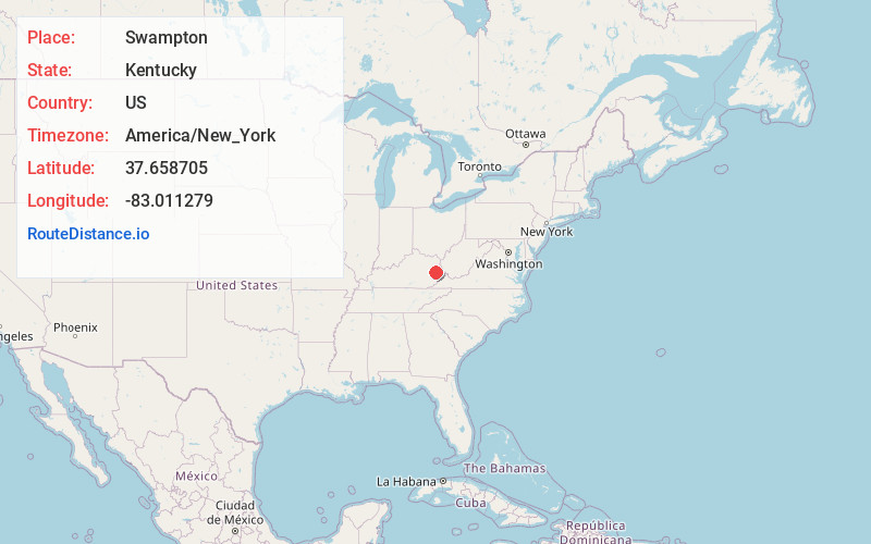
Static map view of Swampton, Kentucky
Browse Places by Distance
Places within specific distances from Swampton
Short Distances
Long Distances
Click any distance to see all places within that range from Swampton. Distances shown in miles (1 mile ≈ 1.61 kilometers).