Distance to Mason, Kentucky

Calculating Your Route
Just a moment while we process your request...
Location Information
-
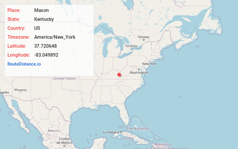
Full AddressMason, KY 41465
-
Coordinates37.7206484, -83.0498919
-
LocationKentucky , US
-
TimezoneAmerica/New_York
-
Current Local Time5:40:10 AM America/New_YorkWednesday, June 18, 2025
-
Page Views0
About Mason
Mason is an unincorporated community in Magoffin County, Kentucky, United States. The community is located along Kentucky Route 7 2.4 miles south-southeast of Salyersville.
Nearby Places
Found 10 places within 50 miles

Salyersville
2.4 mi
3.9 km
Salyersville, KY 41465
Get directions

Swamp Branch
8.5 mi
13.7 km
Swamp Branch, KY 41240
Get directions
Goodloe
13.0 mi
20.9 km
Goodloe, KY 41616
Get directions
Cannel City
13.2 mi
21.2 km
Cannel City, KY 41408
Get directions
Dingus
13.3 mi
21.4 km
Dingus, KY 41472
Get directions

Paintsville
14.8 mi
23.8 km
Paintsville, KY
Get directions
Rosefork
15.6 mi
25.1 km
Rosefork, KY 41301
Get directions

Prestonsburg
15.7 mi
25.3 km
Prestonsburg, KY
Get directions
Auxier
16.1 mi
25.9 km
Auxier, KY
Get directions
Helechawa
16.1 mi
25.9 km
Helechawa, KY 41332
Get directions
Location Links
Local Weather
Weather Information
Coming soon!
Location Map
Static map view of Mason, Kentucky
Browse Places by Distance
Places within specific distances from Mason
Short Distances
Long Distances
Click any distance to see all places within that range from Mason. Distances shown in miles (1 mile ≈ 1.61 kilometers).