Distance to Cannel City, Kentucky

Calculating Your Route
Just a moment while we process your request...
Location Information
-
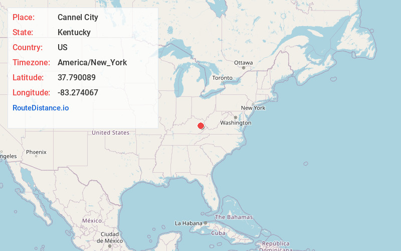
Full AddressCannel City, KY 41408
-
Coordinates37.7900892, -83.2740667
-
LocationCannel City , Kentucky , US
-
TimezoneAmerica/New_York
-
Current Local Time5:27:57 AM America/New_YorkTuesday, July 1, 2025
-
Page Views0
About Cannel City
Cannel City is an unincorporated community in Morgan County, Kentucky, United States. It lies along Route 191 south of the city of West Liberty, the county seat of Morgan County.
Nearby Places
Found 10 places within 50 miles

Rosefork
7.0 mi
11.3 km
Rosefork, KY 41301
Get directions
Hazel Green
7.8 mi
12.6 km
Hazel Green, KY 41332
Get directions

West Liberty
9.1 mi
14.6 km
West Liberty, KY 41472
Get directions

Salyersville
11.5 mi
18.5 km
Salyersville, KY 41465
Get directions
Maytown
11.5 mi
18.5 km
Maytown, KY 41425
Get directions
Ezel
11.7 mi
18.8 km
Ezel, KY 41425
Get directions

Campton
15.4 mi
24.8 km
Campton, KY 41301
Get directions
Wellington
15.6 mi
25.1 km
Wellington, KY
Get directions

Jackson
17.4 mi
28.0 km
Jackson, KY 41339
Get directions
Roscoe
19.5 mi
31.4 km
Roscoe, KY 41171
Get directions
Location Links
Local Weather
Weather Information
Coming soon!
Location Map
Static map view of Cannel City, Kentucky
Browse Places by Distance
Places within specific distances from Cannel City
Short Distances
Long Distances
Click any distance to see all places within that range from Cannel City. Distances shown in miles (1 mile ≈ 1.61 kilometers).