Distance to Hazel Green, Kentucky

Calculating Your Route
Just a moment while we process your request...
Location Information
-
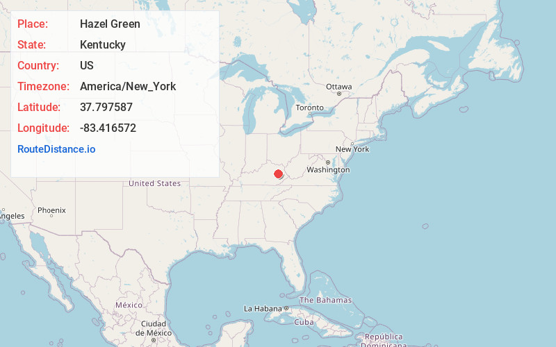
Full AddressHazel Green, KY 41332
-
Coordinates37.797587, -83.4165715
-
LocationHazel Green , Kentucky , US
-
TimezoneAmerica/New_York
-
Current Local Time1:27:47 PM America/New_YorkFriday, June 6, 2025
-
Page Views0
About Hazel Green
Hazel Green is a census-designated place and unincorporated community in Wolfe County, Kentucky, United States. It lies along Routes 191 and 205 northeast of the city of Campton, the county seat of Wolfe County. Its elevation is 922 feet. It has a post office with the ZIP code 41332.
Nearby Places
Found 10 places within 50 miles

Ezel
6.7 mi
10.8 km
Ezel, KY 41425
Get directions

Campton
8.4 mi
13.5 km
Campton, KY 41301
Get directions
Wellington
9.6 mi
15.4 km
Wellington, KY
Get directions

West Liberty
12.1 mi
19.5 km
West Liberty, KY 41472
Get directions

Frenchburg
15.6 mi
25.1 km
Frenchburg, KY
Get directions

Jackson
17.0 mi
27.4 km
Jackson, KY 41339
Get directions

Salyersville
19.2 mi
30.9 km
Salyersville, KY 41465
Get directions

Beattyville
22.3 mi
35.9 km
Beattyville, KY 41311
Get directions

Stanton
24.3 mi
39.1 km
Stanton, KY 40380
Get directions

Salt Lick
24.8 mi
39.9 km
Salt Lick, KY 40371
Get directions
Location Links
Local Weather
Weather Information
Coming soon!
Location Map
Static map view of Hazel Green, Kentucky
Browse Places by Distance
Places within specific distances from Hazel Green
Short Distances
Long Distances
Click any distance to see all places within that range from Hazel Green. Distances shown in miles (1 mile ≈ 1.61 kilometers).