Distance to Helechawa, Kentucky

Calculating Your Route
Just a moment while we process your request...
Location Information
-
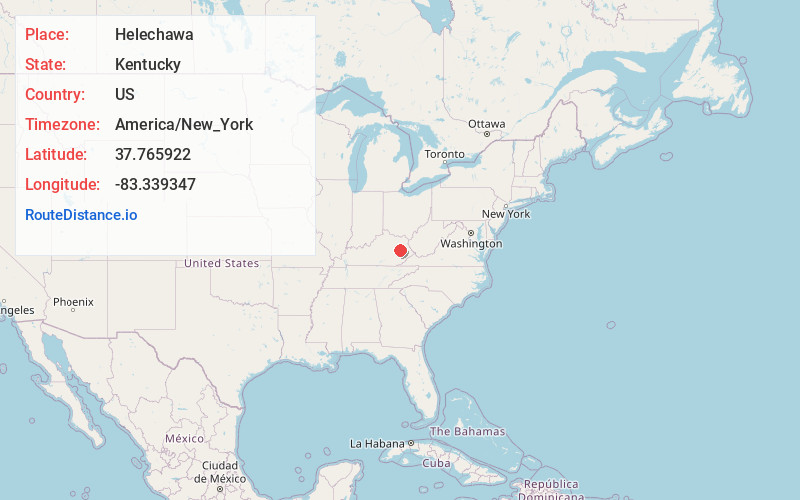
Full AddressHelechawa, KY 41332
-
Coordinates37.7659219, -83.3393466
-
LocationHelechawa , Kentucky , US
-
TimezoneAmerica/New_York
-
Current Local Time4:31:02 PM America/New_YorkFriday, May 30, 2025
-
Page Views0
About Helechawa
Helechawa is an unincorporated community in Wolfe County, Kentucky, United States.
The town of Helechawa was established in 1901 along the route of the Ohio and Kentucky Railroad. The president of the railway coined the name from that of his daughter, Helen Chas Walbridge.
Nearby Places
Found 10 places within 50 miles

Cannel City
3.9 mi
6.3 km
Cannel City, KY 41408
Get directions
Rosefork
4.5 mi
7.2 km
Rosefork, KY 41301
Get directions
Hazel Green
4.8 mi
7.7 km
Hazel Green, KY 41332
Get directions
Maytown
9.2 mi
14.8 km
Maytown, KY 41425
Get directions
Bonny
9.9 mi
15.9 km
Bonny, KY 41425
Get directions
Ezel
10.5 mi
16.9 km
Ezel, KY 41425
Get directions

Campton
11.6 mi
18.7 km
Campton, KY 41301
Get directions

West Liberty
11.6 mi
18.7 km
West Liberty, KY 41472
Get directions
Wellington
13.9 mi
22.4 km
Wellington, KY
Get directions

Salyersville
14.8 mi
23.8 km
Salyersville, KY 41465
Get directions
Location Links
Local Weather
Weather Information
Coming soon!
Location Map
Static map view of Helechawa, Kentucky
Browse Places by Distance
Places within specific distances from Helechawa
Short Distances
Long Distances
Click any distance to see all places within that range from Helechawa. Distances shown in miles (1 mile ≈ 1.61 kilometers).