Distance to Swamp Branch, Kentucky

Calculating Your Route
Just a moment while we process your request...
Location Information
-
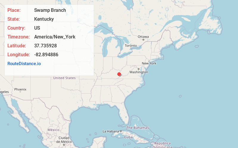
Full AddressSwamp Branch, KY 41240
-
Coordinates37.7359278, -82.8948864
-
LocationSwamp Branch , Kentucky , US
-
TimezoneAmerica/New_York
-
Current Local Time3:41:52 PM America/New_YorkTuesday, June 24, 2025
-
Page Views0
About Swamp Branch
Swamp Branch is an unincorporated community in Johnson County, Kentucky, United States. Its ZIP Code is 41240. Swamp Branch is located at an elevation of 728 feet.
Its post office opened on December 22, 1923, with Crate Rice as postmaster.
Nearby Places
Found 10 places within 50 miles

Paintsville
7.2 mi
11.6 km
Paintsville, KY
Get directions

Auxier
7.6 mi
12.2 km
Auxier, KY
Get directions

Van Lear
7.9 mi
12.7 km
Van Lear, KY
Get directions

Prestonsburg
8.3 mi
13.4 km
Prestonsburg, KY
Get directions
Goodloe
9.3 mi
15.0 km
Goodloe, KY 41616
Get directions

Salyersville
9.6 mi
15.4 km
Salyersville, KY 41465
Get directions
Dwale
12.2 mi
19.6 km
Dwale, KY 41621
Get directions
Allen City
12.6 mi
20.3 km
Allen City, KY 41601
Get directions

Martin
13.7 mi
22.0 km
Martin, KY
Get directions
Arkansas
13.8 mi
22.2 km
Arkansas, KY 41601
Get directions
Location Links
Local Weather
Weather Information
Coming soon!
Location Map
Static map view of Swamp Branch, Kentucky
Browse Places by Distance
Places within specific distances from Swamp Branch
Short Distances
Long Distances
Click any distance to see all places within that range from Swamp Branch. Distances shown in miles (1 mile ≈ 1.61 kilometers).