Distance to Dingus, Kentucky

Calculating Your Route
Just a moment while we process your request...
Location Information
-
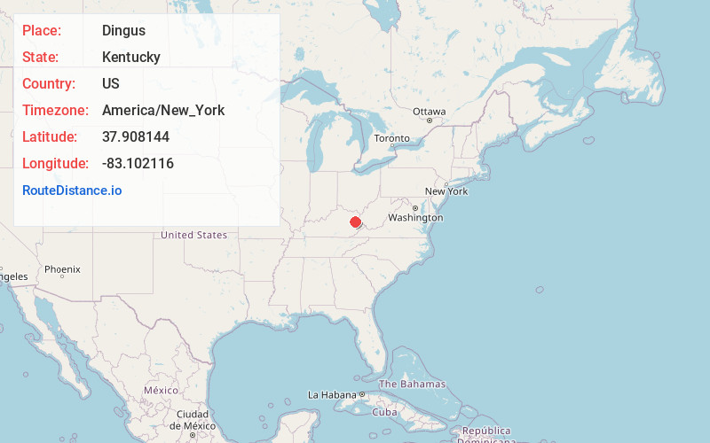
Full AddressDingus, KY 41472
-
Coordinates37.9081444, -83.1021157
-
LocationDingus , Kentucky , US
-
TimezoneAmerica/New_York
-
Current Local Time7:02:04 PM America/New_YorkFriday, June 20, 2025
-
Page Views0
About Dingus
Dingus is an unincorporated community in Morgan County, Kentucky on Kentucky Highway 437, between Elamton and Mima. The town is located 14 miles from West Liberty, the county seat. There was formerly a post office in the town, but residents are now served by the post office at Elkfork, Kentucky.
Nearby Places
Found 10 places within 50 miles

West Liberty
8.6 mi
13.8 km
West Liberty, KY 41472
Get directions

Roscoe
8.7 mi
14.0 km
Roscoe, KY 41171
Get directions

Salyersville
10.9 mi
17.5 km
Salyersville, KY 41465
Get directions

Sandy Hook
12.4 mi
20.0 km
Sandy Hook, KY 41171
Get directions
Cannel City
12.4 mi
20.0 km
Cannel City, KY 41408
Get directions

Blaine
16.3 mi
26.2 km
Blaine, KY 41124
Get directions
Dewdrop
16.5 mi
26.6 km
Dewdrop, KY 41171
Get directions

Paintsville
17.3 mi
27.8 km
Paintsville, KY
Get directions
Ezel
18.7 mi
30.1 km
Ezel, KY 41425
Get directions
Hazel Green
18.8 mi
30.3 km
Hazel Green, KY 41332
Get directions
Location Links
Local Weather
Weather Information
Coming soon!
Location Map
Static map view of Dingus, Kentucky
Browse Places by Distance
Places within specific distances from Dingus
Short Distances
Long Distances
Click any distance to see all places within that range from Dingus. Distances shown in miles (1 mile ≈ 1.61 kilometers).