Distance to Blaine, Kentucky

Calculating Your Route
Just a moment while we process your request...
Location Information
-
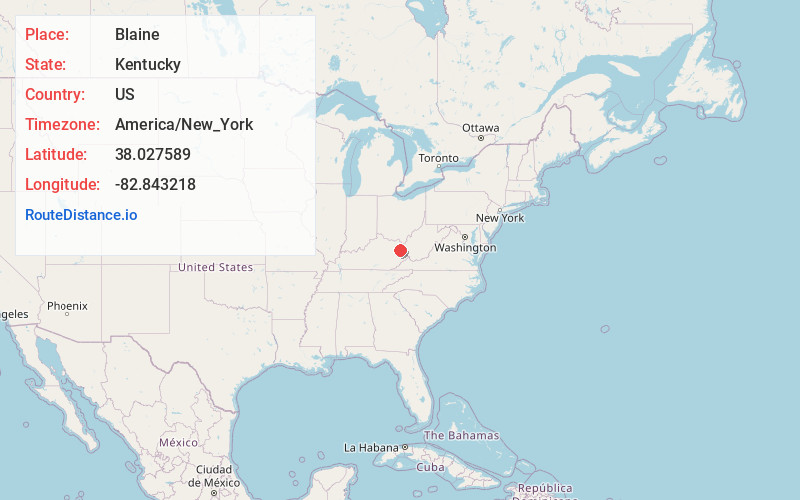
Full AddressBlaine, KY 41124
-
Coordinates38.0275889, -82.8432177
-
LocationBlaine , Kentucky , US
-
TimezoneAmerica/New_York
-
Current Local Time3:23:14 PM America/New_YorkFriday, May 30, 2025
-
Page Views0
About Blaine
Blaine is a former home rule-class city in Lawrence County, Kentucky, United States. The population was 47 at the 2010 census, down from 245 at the 2000 census.

Nearby Places
Found 10 places within 50 miles

Louisa
14.4 mi
23.2 km
Louisa, KY 41230
Get directions

Fort Gay
14.8 mi
23.8 km
Fort Gay, WV 25514
Get directions

Paintsville
14.9 mi
24.0 km
Paintsville, KY
Get directions

Sandy Hook
15.9 mi
25.6 km
Sandy Hook, KY 41171
Get directions

Van Lear
18.3 mi
29.5 km
Van Lear, KY
Get directions

Prichard
19.8 mi
31.9 km
Prichard, WV 25555
Get directions

Inez
20.0 mi
32.2 km
Inez, KY 41224
Get directions
Auxier
20.8 mi
33.5 km
Auxier, KY
Get directions

Grayson
21.8 mi
35.1 km
Grayson, KY 41143
Get directions

Salyersville
22.6 mi
36.4 km
Salyersville, KY 41465
Get directions
Location Links
Local Weather
Weather Information
Coming soon!
Location Map
Static map view of Blaine, Kentucky
Browse Places by Distance
Places within specific distances from Blaine
Short Distances
Long Distances
Click any distance to see all places within that range from Blaine. Distances shown in miles (1 mile ≈ 1.61 kilometers).