Distance to Grayson, Kentucky

Calculating Your Route
Just a moment while we process your request...
Location Information
-
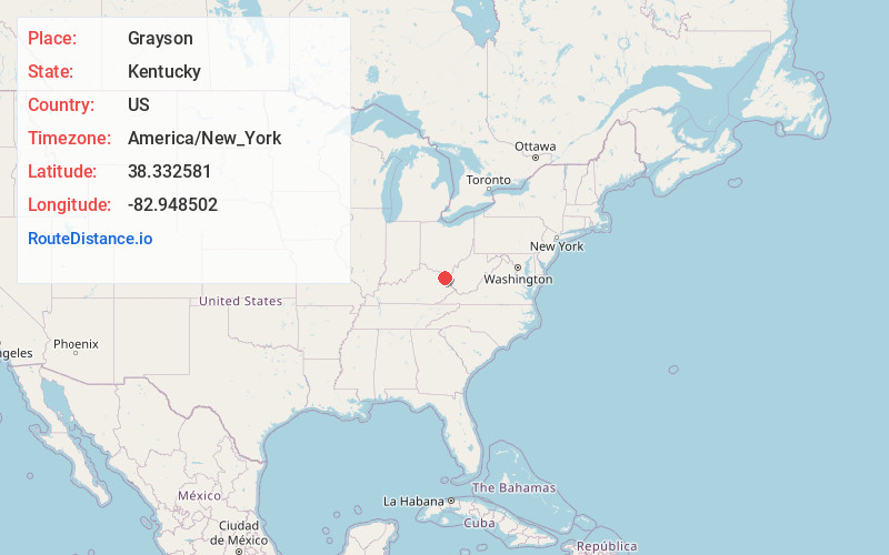
Full AddressGrayson, KY 41143
-
Coordinates38.3325812, -82.9485023
-
LocationGrayson , Kentucky , US
-
TimezoneAmerica/New_York
-
Current Local Time8:14:19 AM America/New_YorkTuesday, June 3, 2025
-
Page Views0
About Grayson
Grayson is a home rule-class city in and the county seat of Carter County, Kentucky, United States, on U.S. Route 60 and Interstate 64 in the state's northeastern region. It is approximately 21 miles west of Ashland. Within the city limits, the population was 4,217 at the 2010 census.


Nearby Places
Found 10 places within 50 miles

Flatwoods
18.1 mi
29.1 km
Flatwoods, KY
Get directions

Westwood
18.3 mi
29.5 km
Westwood, KY
Get directions

Ashland
19.6 mi
31.5 km
Ashland, KY
Get directions

Ironton
20.1 mi
32.3 km
Ironton, OH 45638
Get directions

Portsmouth
27.7 mi
44.6 km
Portsmouth, OH 45662
Get directions

Huntington
27.9 mi
44.9 km
Huntington, WV
Get directions

Wheelersburg
27.9 mi
44.9 km
Wheelersburg, OH
Get directions

Morehead
28.5 mi
45.9 km
Morehead, KY 40351
Get directions
Pea Ridge
34.5 mi
55.5 km
Pea Ridge, WV
Get directions

Barboursville
35.8 mi
57.6 km
Barboursville, WV
Get directions
Location Links
Local Weather
Weather Information
Coming soon!
Location Map
Static map view of Grayson, Kentucky
Browse Places by Distance
Places within specific distances from Grayson
Short Distances
Long Distances
Click any distance to see all places within that range from Grayson. Distances shown in miles (1 mile ≈ 1.61 kilometers).