Distance to Flatwoods, Kentucky

Calculating Your Route
Just a moment while we process your request...
Location Information
-
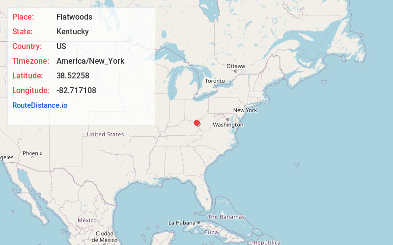
Full AddressFlatwoods, KY
-
Coordinates38.5225804, -82.7171081
-
LocationFlatwoods , Kentucky , US
-
TimezoneAmerica/New_York
-
Current Local Time5:57:47 PM America/New_YorkWednesday, June 18, 2025
-
Website
-
Page Views0
About Flatwoods
Flatwoods is a home rule-class city in Greenup County, Kentucky, United States. The population was 7,325 at the 2020 census, making it the largest city in Greenup County. Flatwoods is a part of the Huntington–Ashland metropolitan area.

Nearby Places
Found 6 places within 50 miles

Ironton
2.1 mi
3.4 km
Ironton, OH 45638
Get directions

Ashland
5.2 mi
8.4 km
Ashland, KY
Get directions

Huntington
16.4 mi
26.4 km
Huntington, WV
Get directions

Portsmouth
20.9 mi
33.6 km
Portsmouth, OH 45662
Get directions

Teays Valley
42.9 mi
69.0 km
Teays Valley, WV
Get directions

St Albans
49.6 mi
79.8 km
St Albans, WV 25177
Get directions
Location Links
Local Weather
Weather Information
Coming soon!
Location Map
Static map view of Flatwoods, Kentucky
Browse Places by Distance
Places within specific distances from Flatwoods
Short Distances
Long Distances
Click any distance to see all places within that range from Flatwoods. Distances shown in miles (1 mile ≈ 1.61 kilometers).