Distance to Dewdrop, Kentucky

Calculating Your Route
Just a moment while we process your request...
Location Information
-
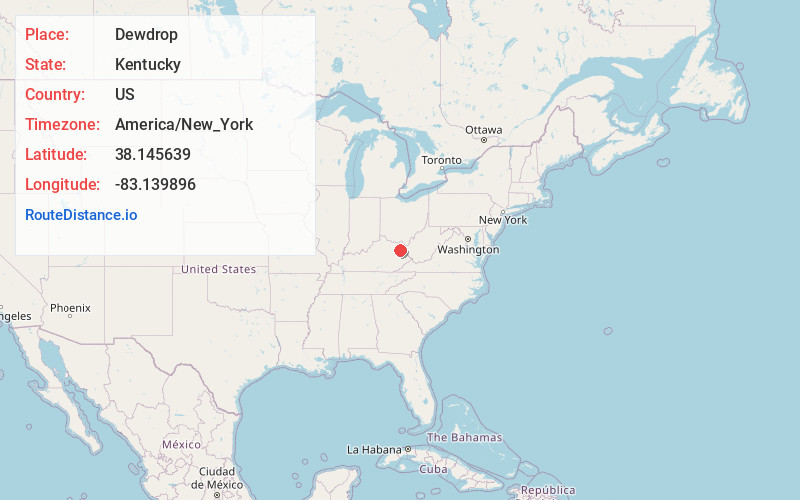
Full AddressDewdrop, KY 41171
-
Coordinates38.1456393, -83.1398959
-
LocationKentucky , US
-
TimezoneAmerica/New_York
-
Current Local Time7:53:15 AM America/New_YorkTuesday, June 24, 2025
-
Page Views0
About Dewdrop
Dewdrop is an unincorporated community within Elliott County, Kentucky, United States.
Nearby Places
Found 10 places within 50 miles

Sandy Hook
4.2 mi
6.8 km
Sandy Hook, KY 41171
Get directions

Roscoe
8.1 mi
13.0 km
Roscoe, KY 41171
Get directions

Olive Hill
10.8 mi
17.4 km
Olive Hill, KY 41164
Get directions
Dobbins
11.5 mi
18.5 km
Dobbins, KY 41180
Get directions
Rose Hill
14.1 mi
22.7 km
Rose Hill, KY 41164
Get directions
Gollihue
15.4 mi
24.8 km
Gollihue, KY 41143
Get directions

Morehead
16.2 mi
26.1 km
Morehead, KY 40351
Get directions

Grayson
16.6 mi
26.7 km
Grayson, KY 41143
Get directions

West Liberty
16.8 mi
27.0 km
West Liberty, KY 41472
Get directions

Blaine
18.1 mi
29.1 km
Blaine, KY 41124
Get directions
Location Links
Local Weather
Weather Information
Coming soon!
Location Map
Static map view of Dewdrop, Kentucky
Browse Places by Distance
Places within specific distances from Dewdrop
Short Distances
Long Distances
Click any distance to see all places within that range from Dewdrop. Distances shown in miles (1 mile ≈ 1.61 kilometers).