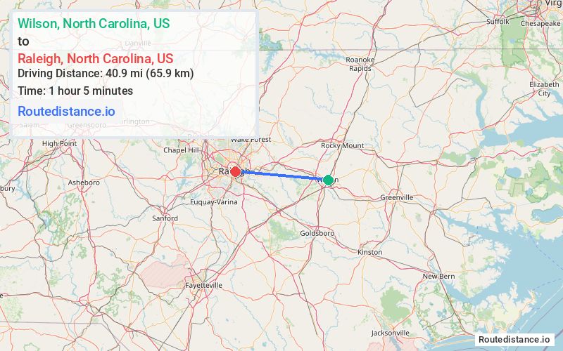
Distance from Wilson, North Carolina to Raleigh, North Carolina
The driving distance from Wilson, North Carolina to Raleigh, North Carolina is 50.5 mi (81.2 km)
The straight-line (air) distance is approximately 25.4 mi (40.9 km)
Estimated travel time by road is 53 minutes
We found 3 routes between Wilson and Raleigh.
Available Routes
Route Directions
Get on I-795 N/US-264 W from NC-1163/Downing St SW
Follow US-264 W, US-64 W and I-87 to US-401 S/Capital Blvd in Raleigh. Take exit 11A from I-440 W
Follow US-401 S to S Wilmington St
Route Directions
Get on I-795 N/US-264 W from NC-1163/Downing St SW
Follow US-264 W, US-64 W and I-87 to New Bern Ave in Raleigh. Take exit 13A from I-440 W
Follow New Bern Ave and E Edenton St to S Wilmington St
Route Directions
Get on I-795 N/US-264 W from NC-1163/Downing St SW
Follow US-264 W and US-64 W to Wake County. Take exit 14 from US-264 W/US-64 W
Follow Rolesville Rd, Buffaloe Rd and US-401 S to S Wilmington St in Raleigh
Journey Details
Traveling from Wilson, North Carolina to Raleigh, North Carolina covers 48.6 miles (78 km) in a west direction. This mixed highways and local roads, moderate route typically takes 53 minutes under normal conditions.
Drivers have 3 route options between these locations (49-50 miles / 78-81 km). The primary route shown here saves 11 minutes compared to alternatives.
Journey Waypoints
Wilson
Starting Point
Raleigh
Destination
Route Map Image