Distance to Emit, North Carolina

Calculating Your Route
Just a moment while we process your request...
Location Information
-
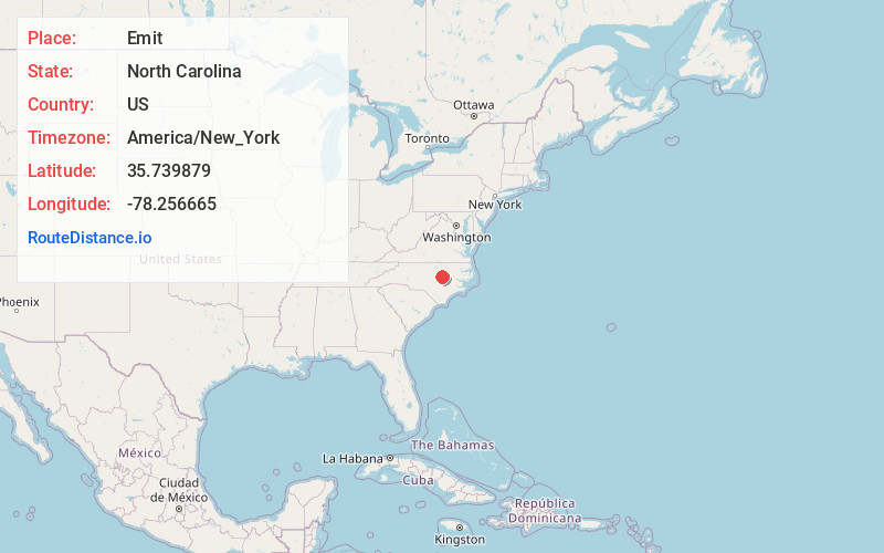
Full AddressEmit, NC 27557
-
Coordinates35.7398786, -78.2566645
-
LocationEmit , North Carolina , US
-
TimezoneAmerica/New_York
-
Current Local Time7:44:13 PM America/New_YorkSunday, June 22, 2025
-
Page Views0
About Emit
Emit is an unincorporated community in Johnston County, North Carolina, United States, situated at the intersection of North Carolina Highway 39 and North Carolina Highway 231. It lies at an elevation of 285 feet.
Nearby Places
Found 10 places within 50 miles

Hocutts Crossroads
2.4 mi
3.9 km
Hocutts Crossroads, NC 27591
Get directions
Heflin
3.4 mi
5.5 km
Heflin, NC 27557
Get directions
Earpsboro
3.5 mi
5.6 km
Earpsboro, NC 27597
Get directions
Stilleys Crossroads
3.7 mi
6.0 km
Stilleys Crossroads, NC 27557
Get directions
Rogers Crossroads
3.9 mi
6.3 km
Rogers Crossroads, NC 27597
Get directions

Middlesex
4.6 mi
7.4 km
Middlesex, NC
Get directions
Stancils Chapel
4.8 mi
7.7 km
Stancils Chapel, NC 27557
Get directions
Crockers Nub
5.2 mi
8.4 km
Crockers Nub, NC 27557
Get directions
Moores Chapel
5.5 mi
8.9 km
Moores Chapel, NC 27542
Get directions
Jordan
5.7 mi
9.2 km
Jordan, NC 27576
Get directions
Location Links
Local Weather
Weather Information
Coming soon!
Location Map
Static map view of Emit, North Carolina
Browse Places by Distance
Places within specific distances from Emit
Short Distances
Long Distances
Click any distance to see all places within that range from Emit. Distances shown in miles (1 mile ≈ 1.61 kilometers).