Distance to Jordan, North Carolina

Calculating Your Route
Just a moment while we process your request...
Location Information
-
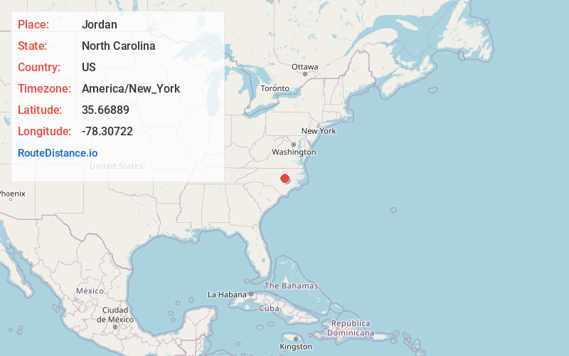
Full AddressJordan, NC 27576
-
Coordinates35.66889, -78.30722
-
LocationJordan , North Carolina , US
-
TimezoneAmerica/New_York
-
Current Local Time9:16:12 PM America/New_YorkSunday, June 22, 2025
-
Page Views0
About Jordan
Jordan is an unincorporated community in Johnston County, North Carolina, United States, off North Carolina Highway 42, and North Carolina Highway 96, east of Flowers. It lies at an elevation of 266 feet.
Nearby Places
Found 10 places within 50 miles

Archer Lodge
4.2 mi
6.8 km
Archer Lodge, NC
Get directions

Wilsons Mills
6.5 mi
10.5 km
Wilsons Mills, NC
Get directions

Clayton
8.5 mi
13.7 km
Clayton, NC
Get directions

Wendell
8.5 mi
13.7 km
Wendell, NC
Get directions

Selma
9.2 mi
14.8 km
Selma, NC
Get directions

Micro
9.3 mi
15.0 km
Micro, NC
Get directions

Eagle Rock
10.2 mi
16.4 km
Eagle Rock, NC 27591
Get directions

Middlesex
10.2 mi
16.4 km
Middlesex, NC
Get directions

Zebulon
10.7 mi
17.2 km
Zebulon, NC 27597
Get directions

Smithfield
11.2 mi
18.0 km
Smithfield, NC
Get directions
Location Links
Local Weather
Weather Information
Coming soon!
Location Map
Static map view of Jordan, North Carolina
Browse Places by Distance
Places within specific distances from Jordan
Short Distances
Long Distances
Click any distance to see all places within that range from Jordan. Distances shown in miles (1 mile ≈ 1.61 kilometers).