Distance to Smithfield, North Carolina

Calculating Your Route
Just a moment while we process your request...
Location Information
-
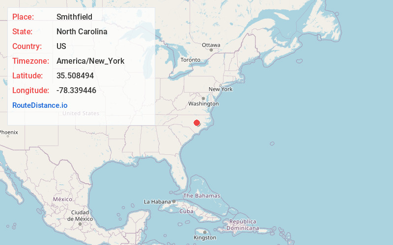
Full AddressSmithfield, NC
-
Coordinates35.5084935, -78.3394455
-
LocationSmithfield , North Carolina , US
-
TimezoneAmerica/New_York
-
Current Local Time11:33:29 PM America/New_YorkSaturday, June 21, 2025
-
Website
-
Page Views0
About Smithfield
Smithfield, officially the Town of Smithfield, is a town in and the county seat of Johnston County, North Carolina, United States. As of the 2020 census, its population was 11,292. The town is located near North Carolina's Research Triangle and is about 30 miles southeast of downtown Raleigh.


Nearby Places
Found 10 places within 50 miles

Clayton
11.8 mi
19.0 km
Clayton, NC
Get directions

Garner
20.8 mi
33.5 km
Garner, NC
Get directions

Knightdale
20.9 mi
33.6 km
Knightdale, NC
Get directions

Goldsboro
21.2 mi
34.1 km
Goldsboro, NC
Get directions

Raleigh
25.1 mi
40.4 km
Raleigh, NC
Get directions

Fuquay-Varina
26.4 mi
42.5 km
Fuquay-Varina, NC
Get directions

Wilson
28.4 mi
45.7 km
Wilson, NC
Get directions

Holly Springs
29.5 mi
47.5 km
Holly Springs, NC
Get directions

Cary
31.4 mi
50.5 km
Cary, NC
Get directions

Apex
32.6 mi
52.5 km
Apex, NC
Get directions
Location Links
Local Weather
Weather Information
Coming soon!
Location Map
Static map view of Smithfield, North Carolina
Browse Places by Distance
Places within specific distances from Smithfield
Short Distances
Long Distances
Click any distance to see all places within that range from Smithfield. Distances shown in miles (1 mile ≈ 1.61 kilometers).