Distance to Selma, North Carolina

Calculating Your Route
Just a moment while we process your request...
Location Information
-
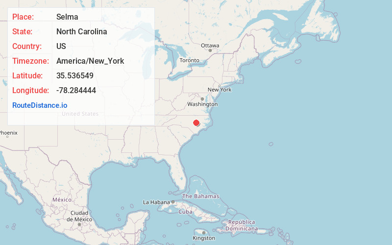
Full AddressSelma, NC
-
Coordinates35.5365485, -78.2844435
-
LocationSelma , North Carolina , US
-
TimezoneAmerica/New_York
-
Current Local Time1:38:42 PM America/New_YorkSaturday, June 21, 2025
-
Website
-
Page Views0
About Selma
Selma is a town in Johnston County, North Carolina, United States. In 2010, the population was 6,073, and as of 2018 the estimated population was 6,913. Selma is part of the Raleigh-Durham-Cary Combined Statistical Area.


Nearby Places
Found 10 places within 50 miles

Smithfield
3.7 mi
6.0 km
Smithfield, NC
Get directions

Clayton
12.5 mi
20.1 km
Clayton, NC
Get directions

Wendell
17.6 mi
28.3 km
Wendell, NC
Get directions

Goldsboro
19.4 mi
31.2 km
Goldsboro, NC
Get directions

Zebulon
20.0 mi
32.2 km
Zebulon, NC 27597
Get directions

Knightdale
20.5 mi
33.0 km
Knightdale, NC
Get directions

Garner
22.1 mi
35.6 km
Garner, NC
Get directions

Dunn
24.2 mi
38.9 km
Dunn, NC 28334
Get directions

Wilson
24.7 mi
39.8 km
Wilson, NC
Get directions

Raleigh
26.0 mi
41.8 km
Raleigh, NC
Get directions
Location Links
Local Weather
Weather Information
Coming soon!
Location Map
Static map view of Selma, North Carolina
Browse Places by Distance
Places within specific distances from Selma
Short Distances
Long Distances
Click any distance to see all places within that range from Selma. Distances shown in miles (1 mile ≈ 1.61 kilometers).