Distance to Abbeville, South Carolina

Calculating Your Route
Just a moment while we process your request...
Location Information
-
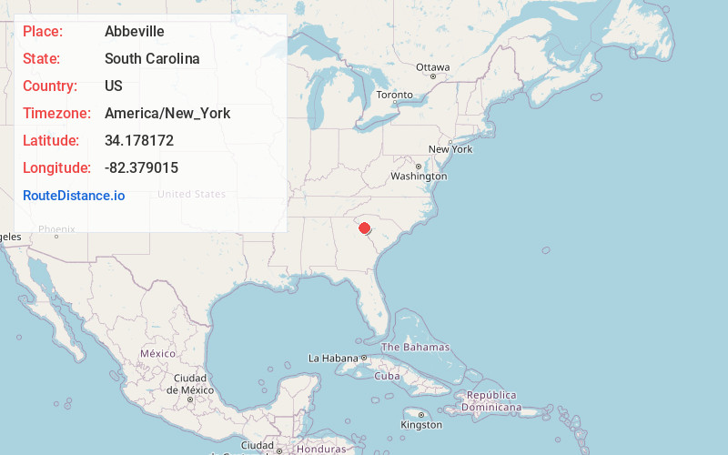
Full AddressAbbeville, SC 29620
-
Coordinates34.1781719, -82.3790147
-
LocationAbbeville , South Carolina , US
-
TimezoneAmerica/New_York
-
Current Local Time6:56:15 PM America/New_YorkTuesday, June 17, 2025
-
Website
-
Page Views0
About Abbeville
Abbeville is a city and county seat of Abbeville County, in the U.S. state of South Carolina. It is located 86 miles west of Columbia and 45 miles south of Greenville. Its population was 5,237 at the 2010 census.


Nearby Places
Found 10 places within 50 miles

Greenwood
12.5 mi
20.1 km
Greenwood, SC
Get directions

Homeland Park
26.2 mi
42.2 km
Homeland Park, SC
Get directions

Anderson
27.3 mi
43.9 km
Anderson, SC
Get directions

Laurens
30.4 mi
48.9 km
Laurens, SC 29360
Get directions

Centerville
30.7 mi
49.4 km
Centerville, SC 29625
Get directions

Clinton
35.0 mi
56.3 km
Clinton, SC 29325
Get directions

Piedmont
36.5 mi
58.7 km
Piedmont, SC 29673
Get directions

Fountain Inn
36.8 mi
59.2 km
Fountain Inn, SC
Get directions

Simpsonville
39.3 mi
63.2 km
Simpsonville, SC
Get directions

Gantt
41.2 mi
66.3 km
Gantt, SC
Get directions
Location Links
Local Weather
Weather Information
Coming soon!
Location Map
Static map view of Abbeville, South Carolina
Browse Places by Distance
Places within specific distances from Abbeville
Short Distances
Long Distances
Click any distance to see all places within that range from Abbeville. Distances shown in miles (1 mile ≈ 1.61 kilometers).