Distance to Abbott, Arkansas

Calculating Your Route
Just a moment while we process your request...
Location Information
-
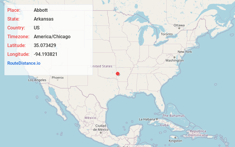
Full AddressAbbott, AR 72944
-
Coordinates35.0734293, -94.1938205
-
LocationAbbott , Arkansas , US
-
TimezoneAmerica/Chicago
-
Current Local Time4:19:33 AM America/ChicagoWednesday, June 18, 2025
-
Page Views0
About Abbott
Abbott is an unincorporated community in Scott County, Arkansas, United States.
Nearby Places
Found 10 places within 50 miles

Mansfield
3.3 mi
5.3 km
Mansfield, AR 72944
Get directions

Huntington
4.0 mi
6.4 km
Huntington, AR 72940
Get directions
Fox Hill
5.7 mi
9.2 km
Fox Hill, AR 72940
Get directions
Midland
9.2 mi
14.8 km
Midland, AR
Get directions

Greenwood
10.2 mi
16.4 km
Greenwood, AR 72936
Get directions

Hartford
11.2 mi
18.0 km
Hartford, AR 72938
Get directions

Waldron
13.5 mi
21.7 km
Waldron, AR 72958
Get directions
Hackett
14.7 mi
23.7 km
Hackett, AR 72937
Get directions

Bloomer
15.6 mi
25.1 km
Bloomer, AR 72941
Get directions

Booneville
16.1 mi
25.9 km
Booneville, AR 72927
Get directions
Location Links
Local Weather
Weather Information
Coming soon!
Location Map
Static map view of Abbott, Arkansas
Browse Places by Distance
Places within specific distances from Abbott
Short Distances
Long Distances
Click any distance to see all places within that range from Abbott. Distances shown in miles (1 mile ≈ 1.61 kilometers).