Distance to Hackett, Arkansas

Calculating Your Route
Just a moment while we process your request...
Location Information
-
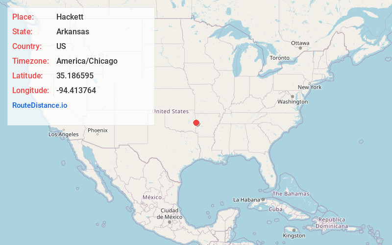
Full AddressHackett, AR 72937
-
Coordinates35.1865945, -94.4137643
-
LocationHackett , Arkansas , US
-
TimezoneAmerica/Chicago
-
Current Local Time12:47:32 PM America/ChicagoTuesday, July 1, 2025
-
Page Views0
About Hackett
Hackett is a city in Sebastian County, Arkansas, United States. It is part of the Fort Smith, Arkansas-Oklahoma Metropolitan Statistical Area. The population was 812 at the 2010 census.
Nearby Places
Found 10 places within 50 miles

Pocola
4.8 mi
7.7 km
Pocola, OK
Get directions

Greenwood
9.1 mi
14.6 km
Greenwood, AR 72936
Get directions

Barling
11.5 mi
18.5 km
Barling, AR
Get directions

Arkoma
11.6 mi
18.7 km
Arkoma, OK 74901
Get directions

Spiro
12.2 mi
19.6 km
Spiro, OK 74959
Get directions

Mansfield
12.7 mi
20.4 km
Mansfield, AR 72944
Get directions

Fort Smith
13.7 mi
22.0 km
Fort Smith, AR
Get directions

Shady Point
14.4 mi
23.2 km
Shady Point, OK 74956
Get directions

Panama
14.7 mi
23.7 km
Panama, OK
Get directions

Poteau
15.0 mi
24.1 km
Poteau, OK
Get directions
Location Links
Local Weather
Weather Information
Coming soon!
Location Map
Static map view of Hackett, Arkansas
Browse Places by Distance
Places within specific distances from Hackett
Short Distances
Long Distances
Click any distance to see all places within that range from Hackett. Distances shown in miles (1 mile ≈ 1.61 kilometers).