Distance to Barling, Arkansas

Calculating Your Route
Just a moment while we process your request...
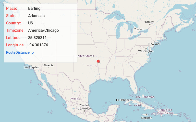
Location Information
-
Full AddressBarling, AR
-
Coordinates35.3253111, -94.3013755
-
LocationBarling , Arkansas , US
-
TimezoneAmerica/Chicago
-
Current Local Time10:07:32 PM America/ChicagoThursday, June 19, 2025
-
Page Views0
About Barling
Barling is a city in Sebastian County, Arkansas, United States. It is part of the Fort Smith, Arkansas-Oklahoma Metropolitan Statistical Area. As of the 2020 Census the population was 4,782, ranking it eighth in the Greater Fort Smith Area. Barling was incorporated in 1956.


Nearby Places
Found 9 places within 50 miles

Fort Smith
7.9 mi
12.7 km
Fort Smith, AR
Get directions

Greenwood
8.2 mi
13.2 km
Greenwood, AR 72936
Get directions

Van Buren
9.7 mi
15.6 km
Van Buren, AR 72956
Get directions

Alma
12.3 mi
19.8 km
Alma, AR 72921
Get directions

Poteau
26.1 mi
42.0 km
Poteau, OK
Get directions

Sallisaw
28.9 mi
46.5 km
Sallisaw, OK 74955
Get directions

Prairie Grove
44.9 mi
72.3 km
Prairie Grove, AR
Get directions

Clarksville
48.0 mi
77.2 km
Clarksville, AR 72830
Get directions

Farmington
49.4 mi
79.5 km
Farmington, AR 72730
Get directions
Location Links
Local Weather
Weather Information
Coming soon!
Location Map
Static map view of Barling, Arkansas
Browse Places by Distance
Places within specific distances from Barling
Short Distances
Long Distances
Click any distance to see all places within that range from Barling. Distances shown in miles (1 mile ≈ 1.61 kilometers).