Distance to and from Pocola, Oklahoma
Pocola, OK
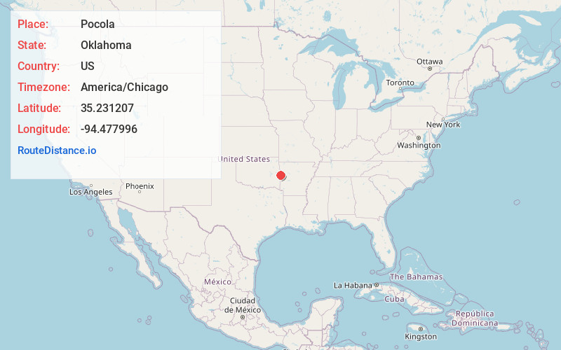
Pocola
Oklahoma
US
America/Chicago
Location Information
-
Full AddressPocola, OK
-
Coordinates35.2312065, -94.4779956
-
LocationPocola , Oklahoma , US
-
TimezoneAmerica/Chicago
-
Current Local Time3:03:18 PM America/ChicagoMonday, May 5, 2025
-
Page Views0
Directions to Nearest Cities
About Pocola
Pocola is a town in Le Flore County, Oklahoma, United States. It is part of the Fort Smith, Arkansas-Oklahoma metropolitan area. The population was 4,056 in 2010, a gain of 1.6 percent over the figure of 3,994 recorded in 2000.


Nearby Places
Found 8 places within 50 miles

Fort Smith
11.1 mi
17.9 km
Fort Smith, AR
Get directions

Barling
11.9 mi
19.2 km
Barling, AR
Get directions

Greenwood
12.6 mi
20.3 km
Greenwood, AR 72936
Get directions

Poteau
14.8 mi
23.8 km
Poteau, OK
Get directions

Van Buren
17.2 mi
27.7 km
Van Buren, AR 72956
Get directions

Alma
23.0 mi
37.0 km
Alma, AR 72921
Get directions

Sallisaw
23.6 mi
38.0 km
Sallisaw, OK 74955
Get directions

Mena
46.8 mi
75.3 km
Mena, AR 71953
Get directions
Fort Smith
11.1 mi
17.9 km
Fort Smith, AR
Barling
11.9 mi
19.2 km
Barling, AR
Greenwood
12.6 mi
20.3 km
Greenwood, AR 72936
Poteau
14.8 mi
23.8 km
Poteau, OK
Van Buren
17.2 mi
27.7 km
Van Buren, AR 72956
Alma
23.0 mi
37.0 km
Alma, AR 72921
Sallisaw
23.6 mi
38.0 km
Sallisaw, OK 74955
Mena
46.8 mi
75.3 km
Mena, AR 71953
Location Links
Local Weather
Weather Information
Coming soon!
Location Map
Static map view of Pocola, Oklahoma
Browse Places by Distance
Places within specific distances from Pocola
Short Distances
Long Distances
Click any distance to see all places within that range from Pocola. Distances shown in miles (1 mile ≈ 1.61 kilometers).