Distance to and from Abingdon, Maryland
Abingdon, MD
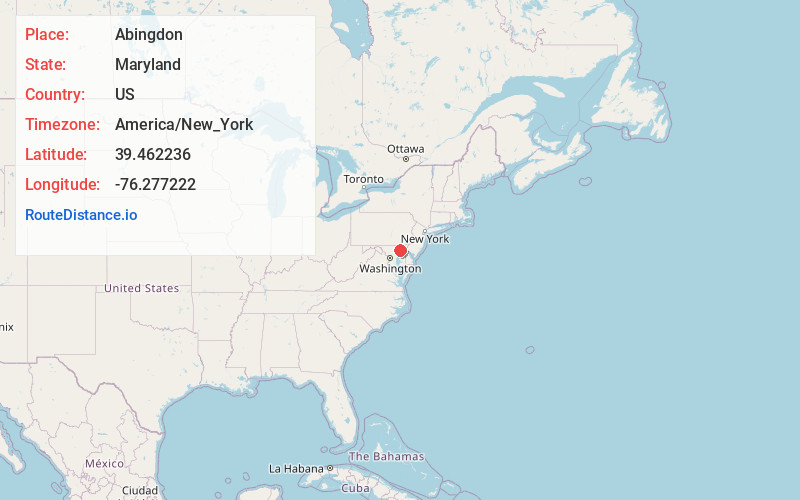
Abingdon
Maryland
US
America/New_York
Location Information
-
Full AddressAbingdon, MD
-
Coordinates39.4622357, -76.2772223
-
LocationAbingdon , Maryland , US
-
TimezoneAmerica/New_York
-
Current Local Time2:13:48 PM America/New_YorkSaturday, May 3, 2025
-
Page Views0
Directions to Nearest Cities
About Abingdon
Abingdon is a census-designated place in Harford County, Maryland, United States. It lies 25 miles northeast of Baltimore on Maryland Route 7, near the Bush River, between Exits 77 and 80 of Interstate 95.


Nearby Places
Found 10 places within 50 miles

Belcamp
2.1 mi
3.4 km
Belcamp, MD
Get directions

Edgewood
3.1 mi
5.0 km
Edgewood, MD
Get directions

Bel Air South
4.2 mi
6.8 km
Bel Air South, MD
Get directions

Joppatowne
4.8 mi
7.7 km
Joppatowne, MD 21085
Get directions

Bel Air
6.3 mi
10.1 km
Bel Air, MD 21014
Get directions

Aberdeen
6.9 mi
11.1 km
Aberdeen, MD
Get directions

Fallston
8.0 mi
12.9 km
Fallston, MD
Get directions

Bel Air North
9.2 mi
14.8 km
Bel Air North, MD
Get directions

Perry Hall
10.5 mi
16.9 km
Perry Hall, MD
Get directions

White Marsh
11.3 mi
18.2 km
White Marsh, MD
Get directions
Belcamp
2.1 mi
3.4 km
Belcamp, MD
Edgewood
3.1 mi
5.0 km
Edgewood, MD
Bel Air South
4.2 mi
6.8 km
Bel Air South, MD
Joppatowne
4.8 mi
7.7 km
Joppatowne, MD 21085
Bel Air
6.3 mi
10.1 km
Bel Air, MD 21014
Aberdeen
6.9 mi
11.1 km
Aberdeen, MD
Fallston
8.0 mi
12.9 km
Fallston, MD
Bel Air North
9.2 mi
14.8 km
Bel Air North, MD
Perry Hall
10.5 mi
16.9 km
Perry Hall, MD
White Marsh
11.3 mi
18.2 km
White Marsh, MD
Location Links
Local Weather
Weather Information
Coming soon!
Location Map
Static map view of Abingdon, Maryland
Browse Places by Distance
Places within specific distances from Abingdon
Short Distances
Long Distances
Click any distance to see all places within that range from Abingdon. Distances shown in miles (1 mile ≈ 1.61 kilometers).