Distance to Abingdon, Iowa

Calculating Your Route
Just a moment while we process your request...
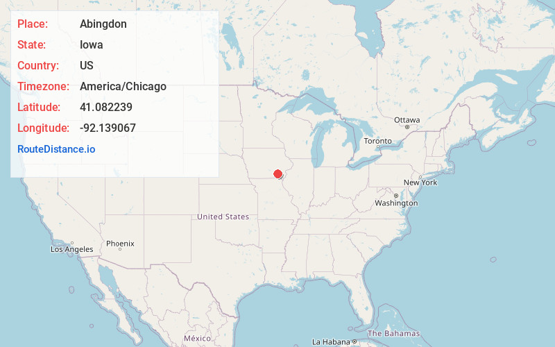
Location Information
-
Full AddressAbingdon, IA 52533
-
Coordinates41.0822387, -92.1390672
-
LocationAbingdon , Iowa , US
-
TimezoneAmerica/Chicago
-
Current Local Time10:33:29 PM America/ChicagoThursday, June 19, 2025
-
Page Views0
About Abingdon
Abingdon is an unincorporated community in Jefferson County, Iowa, United States. It is located at the intersection of County Road H33 and Cedar Avenue, near the west edge of Jefferson County, at 41.082036N, -92.138772W.
Nearby Places
Found 10 places within 50 miles

Brookville
3.2 mi
5.1 km
Brookville, IA 52556
Get directions

Packwood
4.6 mi
7.4 km
Packwood, IA 52580
Get directions
Linby
4.7 mi
7.6 km
Linby, IA 52580
Get directions
Competine
5.3 mi
8.5 km
Competine, IA 52563
Get directions
Pekin
5.7 mi
9.2 km
Pekin, IA 52580
Get directions
Bladensburg
5.7 mi
9.2 km
Bladensburg, IA 52533
Get directions
Batavia
6.3 mi
10.1 km
Batavia, IA 52533
Get directions
Farson
6.6 mi
10.6 km
Farson, IA 52563
Get directions

Maharishi Vedic City
7.8 mi
12.6 km
Maharishi Vedic City, IA 52556
Get directions
Ollie
8.4 mi
13.5 km
Ollie, IA 52576
Get directions
Location Links
Local Weather
Weather Information
Coming soon!
Location Map
Static map view of Abingdon, Iowa
Browse Places by Distance
Places within specific distances from Abingdon
Short Distances
Long Distances
Click any distance to see all places within that range from Abingdon. Distances shown in miles (1 mile ≈ 1.61 kilometers).