Distance to and from Acalanes Ridge, California
Acalanes Ridge, CA
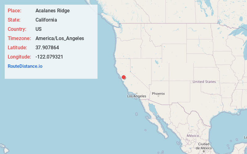
Acalanes Ridge
California
US
America/Los_Angeles
Location Information
-
Full AddressAcalanes Ridge, CA
-
Coordinates37.9078635, -122.0793213
-
LocationAcalanes Ridge , California , US
-
TimezoneAmerica/Los_Angeles
-
Current Local Time2:40:55 PM America/Los_AngelesSaturday, May 3, 2025
-
Page Views0
Directions to Nearest Cities
About Acalanes Ridge
Acalanes Ridge is a census-designated place in Contra Costa County, California. Acalanes Ridge sits at an elevation of 499 feet. The population was 1,285 at the 2020 Census.
Nearby Places
Found 10 places within 50 miles

Walnut Creek
0.8 mi
1.3 km
Walnut Creek, CA
Get directions

Saranap
1.6 mi
2.6 km
Saranap, CA 94595
Get directions

Reliez Valley
2.0 mi
3.2 km
Reliez Valley, CA
Get directions
Castle Hill
2.4 mi
3.9 km
Castle Hill, CA
Get directions
Shell Ridge
2.5 mi
4.0 km
Shell Ridge, CA 94598
Get directions

Lafayette
2.6 mi
4.2 km
Lafayette, CA
Get directions

Pleasant Hill
3.0 mi
4.8 km
Pleasant Hill, CA
Get directions

Alamo
4.7 mi
7.6 km
Alamo, CA 94507
Get directions

Pacheco
5.4 mi
8.7 km
Pacheco, CA
Get directions

Moraga
5.7 mi
9.2 km
Moraga, CA
Get directions
Walnut Creek
0.8 mi
1.3 km
Walnut Creek, CA
Saranap
1.6 mi
2.6 km
Saranap, CA 94595
Reliez Valley
2.0 mi
3.2 km
Reliez Valley, CA
Castle Hill
2.4 mi
3.9 km
Castle Hill, CA
Shell Ridge
2.5 mi
4.0 km
Shell Ridge, CA 94598
Lafayette
2.6 mi
4.2 km
Lafayette, CA
Pleasant Hill
3.0 mi
4.8 km
Pleasant Hill, CA
Alamo
4.7 mi
7.6 km
Alamo, CA 94507
Pacheco
5.4 mi
8.7 km
Pacheco, CA
Moraga
5.7 mi
9.2 km
Moraga, CA
Location Links
Local Weather
Weather Information
Coming soon!
Location Map
Static map view of Acalanes Ridge, California
Browse Places by Distance
Places within specific distances from Acalanes Ridge
Short Distances
Long Distances
Click any distance to see all places within that range from Acalanes Ridge. Distances shown in miles (1 mile ≈ 1.61 kilometers).