Distance to Ada, Kansas

Calculating Your Route
Just a moment while we process your request...
Location Information
-
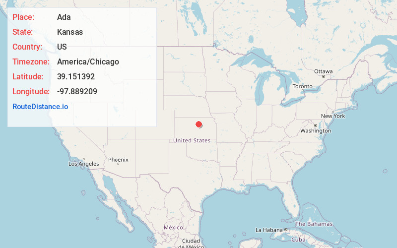
Full AddressAda, KS 67467
-
Coordinates39.1513917, -97.8892088
-
LocationAda , Kansas , US
-
TimezoneAmerica/Chicago
-
Current Local Time9:22:24 PM America/ChicagoTuesday, June 17, 2025
-
Page Views0
About Ada
Ada is a census-designated place in Ottawa County, Kansas, United States. As of the 2020 census, the population was 86. It is located approximately 12 miles west of Minneapolis.
Nearby Places
Found 10 places within 50 miles

Barnard
8.6 mi
13.8 km
Barnard, KS 67418
Get directions
Tescott
9.9 mi
15.9 km
Tescott, KS 67484
Get directions

Minneapolis
10.0 mi
16.1 km
Minneapolis, KS 67467
Get directions
Delphos
10.5 mi
16.9 km
Delphos, KS 67436
Get directions

Beverly
10.6 mi
17.1 km
Beverly, KS 67423
Get directions
Culver
14.3 mi
23.0 km
Culver, KS 67484
Get directions
Glasco
14.4 mi
23.2 km
Glasco, KS 67445
Get directions

Lincoln
15.8 mi
25.4 km
Lincoln, KS 67455
Get directions
Simpson
16.3 mi
26.2 km
Simpson, KS
Get directions
Bennington
17.9 mi
28.8 km
Bennington, KS 67422
Get directions
Location Links
Local Weather
Weather Information
Coming soon!
Location Map
Static map view of Ada, Kansas
Browse Places by Distance
Places within specific distances from Ada
Short Distances
Long Distances
Click any distance to see all places within that range from Ada. Distances shown in miles (1 mile ≈ 1.61 kilometers).