Distance to Adaza, Iowa

Calculating Your Route
Just a moment while we process your request...
Location Information
-
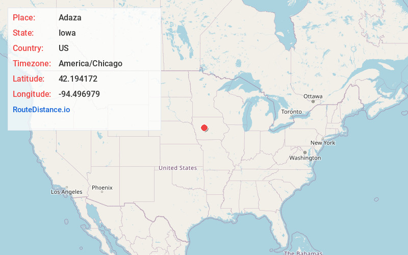
Full AddressAdaza, IA 50050
-
Coordinates42.194172, -94.496979
-
LocationAdaza , Iowa , US
-
TimezoneAmerica/Chicago
-
Current Local Time5:57:06 AM America/ChicagoWednesday, June 4, 2025
-
Page Views0
About Adaza
Adaza is an unincorporated community in Greene County, Iowa, United States. It is located on County Road E13, three miles northwest of Churdan, at 42.194705N, -94.4969273W.
Nearby Places
Found 10 places within 50 miles

Churdan
3.1 mi
5.0 km
Churdan, IA 50050
Get directions

Lohrville
5.9 mi
9.5 km
Lohrville, IA 51453
Get directions

Farnhamville
7.4 mi
11.9 km
Farnhamville, IA 50538
Get directions
Lanesboro
10.0 mi
16.1 km
Lanesboro, IA
Get directions
Rinard
10.1 mi
16.3 km
Rinard, IA
Get directions
Slifer
11.8 mi
19.0 km
Slifer, IA 50543
Get directions

Scranton
12.1 mi
19.5 km
Scranton, IA 51462
Get directions
Gowrie
12.1 mi
19.5 km
Gowrie, IA 50543
Get directions
Ralston
12.6 mi
20.3 km
Ralston, IA
Get directions

Paton
12.7 mi
20.4 km
Paton, IA 50217
Get directions
Location Links
Local Weather
Weather Information
Coming soon!
Location Map
Static map view of Adaza, Iowa
Browse Places by Distance
Places within specific distances from Adaza
Short Distances
Long Distances
Click any distance to see all places within that range from Adaza. Distances shown in miles (1 mile ≈ 1.61 kilometers).