Distance to Farnhamville, Iowa

Calculating Your Route
Just a moment while we process your request...
Location Information
-
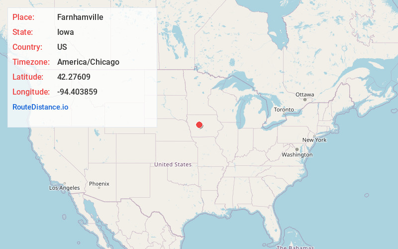
Full AddressFarnhamville, IA 50538
-
Coordinates42.2760896, -94.403859
-
LocationFarnhamville , Iowa , US
-
TimezoneAmerica/Chicago
-
Current Local Time9:38:08 AM America/ChicagoFriday, June 6, 2025
-
Page Views0
About Farnhamville
Farnhamville is a city in Calhoun and Webster counties in the U.S. state of Iowa. The population was 383 at the time of the 2020 census.

Nearby Places
Found 10 places within 50 miles

Gowrie
5.8 mi
9.3 km
Gowrie, IA 50543
Get directions

Churdan
9.3 mi
15.0 km
Churdan, IA 50050
Get directions

Rockwell City
14.3 mi
23.0 km
Rockwell City, IA 50579
Get directions

Lake City
16.9 mi
27.2 km
Lake City, IA 51449
Get directions
Dayton
17.2 mi
27.7 km
Dayton, IA 50530
Get directions

Jefferson
17.9 mi
28.8 km
Jefferson, IA 50129
Get directions
Twin Lakes
18.2 mi
29.3 km
Twin Lakes, IA
Get directions
Coalville
18.4 mi
29.6 km
Coalville, IA 50501
Get directions

Manson
18.7 mi
30.1 km
Manson, IA 50563
Get directions

Grand Junction
18.9 mi
30.4 km
Grand Junction, IA 50107
Get directions
Location Links
Local Weather
Weather Information
Coming soon!
Location Map
Static map view of Farnhamville, Iowa
Browse Places by Distance
Places within specific distances from Farnhamville
Short Distances
Long Distances
Click any distance to see all places within that range from Farnhamville. Distances shown in miles (1 mile ≈ 1.61 kilometers).