Distance to Manson, Iowa

Calculating Your Route
Just a moment while we process your request...
Location Information
-
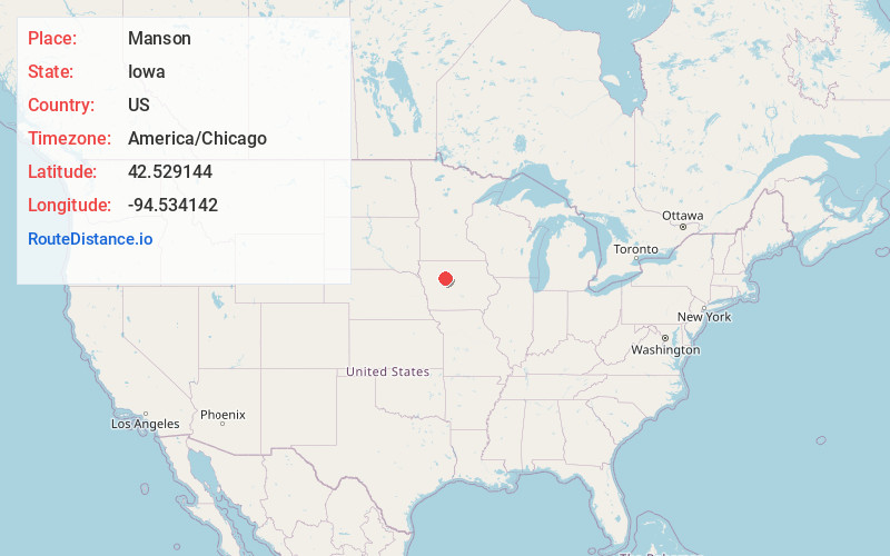
Full AddressManson, IA 50563
-
Coordinates42.5291439, -94.5341421
-
LocationManson , Iowa , US
-
TimezoneAmerica/Chicago
-
Current Local Time10:26:34 PM America/ChicagoSunday, June 29, 2025
-
Page Views0
About Manson
Manson is a city in Calhoun County, Iowa, United States. The population was 1,709 at the time of the 2020 census.


Nearby Places
Found 10 places within 50 miles

Rockwell City
10.6 mi
17.1 km
Rockwell City, IA 50579
Get directions

Fort Dodge
18.8 mi
30.3 km
Fort Dodge, IA 50501
Get directions

Lake City
20.8 mi
33.5 km
Lake City, IA 51449
Get directions

Humboldt
20.9 mi
33.6 km
Humboldt, IA 50548
Get directions

Sac City
24.4 mi
39.3 km
Sac City, IA 50583
Get directions

Eagle Grove
33.4 mi
53.8 km
Eagle Grove, IA 50533
Get directions

Storm Lake
34.9 mi
56.2 km
Storm Lake, IA 50588
Get directions

Jefferson
36.3 mi
58.4 km
Jefferson, IA 50129
Get directions

Carroll
36.3 mi
58.4 km
Carroll, IA 51401
Get directions

Webster City
36.8 mi
59.2 km
Webster City, IA 50595
Get directions
Location Links
Local Weather
Weather Information
Coming soon!
Location Map
Static map view of Manson, Iowa
Browse Places by Distance
Places within specific distances from Manson
Short Distances
Long Distances
Click any distance to see all places within that range from Manson. Distances shown in miles (1 mile ≈ 1.61 kilometers).