Distance to Eagle Grove, Iowa

Calculating Your Route
Just a moment while we process your request...
Location Information
-
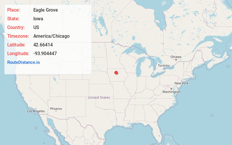
Full AddressEagle Grove, IA 50533
-
Coordinates42.6641396, -93.9044473
-
LocationEagle Grove , Iowa , US
-
TimezoneAmerica/Chicago
-
Current Local Time8:58:07 AM America/ChicagoTuesday, June 24, 2025
-
Page Views0
About Eagle Grove
Eagle Grove is a city in Wright County, Iowa, United States. The population was 3,601 at the time of the 2020 census. Eagle Grove is the largest city in Wright County.


Nearby Places
Found 10 places within 50 miles

Webster City
14.2 mi
22.9 km
Webster City, IA 50595
Get directions

Humboldt
16.3 mi
26.2 km
Humboldt, IA 50548
Get directions

Fort Dodge
17.7 mi
28.5 km
Fort Dodge, IA 50501
Get directions

Algona
32.6 mi
52.5 km
Algona, IA 50511
Get directions

Iowa Falls
34.0 mi
54.7 km
Iowa Falls, IA 50126
Get directions

Hampton
35.7 mi
57.5 km
Hampton, IA 50441
Get directions

Boone
41.8 mi
67.3 km
Boone, IA 50036
Get directions

Clear Lake
42.5 mi
68.4 km
Clear Lake, IA 50428
Get directions

Forest City
43.5 mi
70.0 km
Forest City, IA 50436
Get directions

Ames
45.9 mi
73.9 km
Ames, IA
Get directions
Location Links
Local Weather
Weather Information
Coming soon!
Location Map
Static map view of Eagle Grove, Iowa
Browse Places by Distance
Places within specific distances from Eagle Grove
Short Distances
Long Distances
Click any distance to see all places within that range from Eagle Grove. Distances shown in miles (1 mile ≈ 1.61 kilometers).