Distance to Hampton, Iowa

Calculating Your Route
Just a moment while we process your request...
Location Information
-
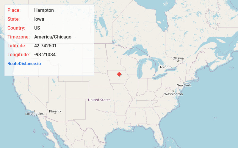
Full AddressHampton, IA 50441
-
Coordinates42.7425009, -93.2103402
-
LocationHampton , Iowa , US
-
TimezoneAmerica/Chicago
-
Current Local Time5:14:36 AM America/ChicagoFriday, June 6, 2025
-
Page Views0
About Hampton
Hampton is a town and county seat of Franklin County, Iowa, United States. The population was 4,337 at the time of the 2020 census.


Nearby Places
Found 9 places within 50 miles

Iowa Falls
15.6 mi
25.1 km
Iowa Falls, IA 50126
Get directions

Mason City
28.3 mi
45.5 km
Mason City, IA 50401
Get directions

Clear Lake
29.0 mi
46.7 km
Clear Lake, IA 50428
Get directions

Charles City
35.2 mi
56.6 km
Charles City, IA 50616
Get directions

Webster City
36.1 mi
58.1 km
Webster City, IA 50595
Get directions

Waverly
37.7 mi
60.7 km
Waverly, IA 50677
Get directions

Cedar Falls
41.4 mi
66.6 km
Cedar Falls, IA
Get directions

Forest City
41.9 mi
67.4 km
Forest City, IA 50436
Get directions

Waterloo
47.4 mi
76.3 km
Waterloo, IA
Get directions
Location Links
Local Weather
Weather Information
Coming soon!
Location Map
Static map view of Hampton, Iowa
Browse Places by Distance
Places within specific distances from Hampton
Short Distances
Long Distances
Click any distance to see all places within that range from Hampton. Distances shown in miles (1 mile ≈ 1.61 kilometers).